A Solo Hike Along the Silver Divide

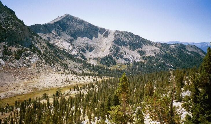
Looking back the way I came, I could see the final high meadow of the headwaters of Cold Creek. That is peak 11,287.
The Slog Upward
Silver Divide Trip from Edison Lake Trailhead, August-September 2001
The trail was serious now about climbing, and after reaching near the right end of the cliff, it began to switchback upward on rapid altitude gaining switchbacks. Soon I could look down at the meadows below the canyon headwalls, and see a good distance down the canyon.
An interesting exposed area where the trail skirted a talus field below a crumbling cliff to the south-west of the pass.
The altitude was really beginning to make itself felt as I trudged up the trail, forcing breathing breaks on the elbows of the switchbacks. The trail finally leveled itself out on top of the cliffs I observed from below at my water break. Looking ahead yielded no new information however; the trail was lost ahead rounding a rocky corner. I trudged on and then came on a large open area, a catch basin for early season melt-water, dry now in the late summer. There below cliffs and a large talus fall the trail leveled out a bit for a distance before finding more steep switchbacks.
Darn, the pass has gotta be near now! But no, the trail would snake about and climb before finding Goodale Pass. Good example of the trail here, but an easy section. Beyond, a peak over Silver Pass.
I know by the map I was nearing the summit, but the trail insisted on going on and on, skirting the summit on yet another right hand traverse with no end in sight. At this point I was getting really tired and the altitude was making me more tired than I really was. I was stopping frequently to gasp for breath and power up for the next section of horse steps and switchbacks. Finally the trail seemed to top out a bit below some rocks, but just ahead I could see blue skies and no more altitude to do.