A Solo Hike Along the Silver Divide

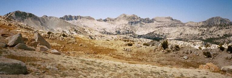
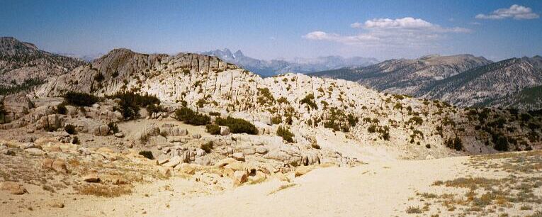
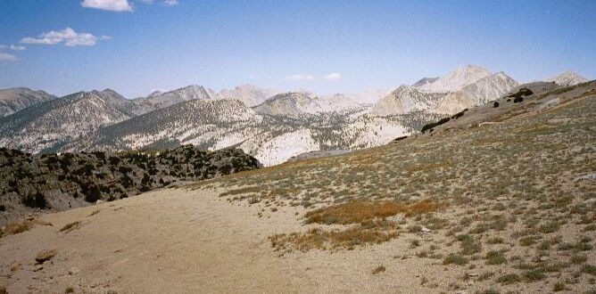
These three pictures make up a panorama, from left to right in order. Here looking west is the Silver Divide with Silver Peak and Sharktooth Peak.

To the north, Ritter and Banner Peaks of the Minarets can bee seen.

To the north-east, the PCT/JMT country of the Sierra Crest can be seen, as well as part of my trail to lower elevations.
Beyond Goodale Pass
Silver Divide Trip from Edison Lake Trailhead, August 2001
After a lunch and plenty of water, it was time to move on. With my pack on my back I set off.
Crossing the level top, the trail begins to drop sharply on a sandy trail. The terrain below the pass is unexpectedly convoluted, with sandy mounds and ghostly monuments of rock formations. The trail also becomes threaded through this yellow rocky desert, and my advice it to keep to the left trails and keep a sharp lookout for forks to the left. I went to the right and found myself on an unpleasant steep slippery path. Eventually all trails join to continue the plunge downward. The trail follows some small canyons and cuts through a choke point until it enters a small flat-bottomed draw. Here there was another fork in the trail. The left fork, a faint but human used track, shows up on some maps and ends up at the Lake of the Lone Indian. It may be a steep tricky trail to descend, and it may be better to hike up it than down. The right fork is the main trail and passes through a notch. Stand at the notch and before you like a map is a glory of the High Sierra and Sierra Crest.
To my right was the Silver Pass area, and above them was a group of peaks of the Silver Divide that formed the flank of a line of peaks marching to the left and into the distance that comprised the Sierra Crest. Bloody Mountain, Red Slate Mountain, Mt. Baldwin, Mt. Isaac Walton (the summit hidden by its spur) and an array of unnamed peaks lined the horizon.