The Grand Canyon of the Tuolumne and Falls

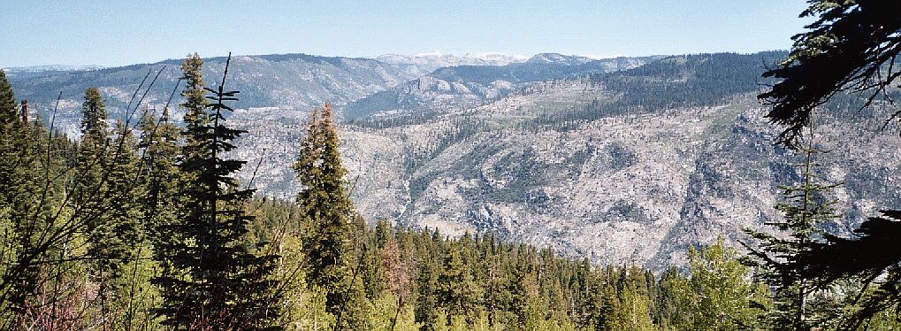
Rancheria Mountain, and beyond, TilTill Valley. The Rancheria Mountain Trail comes up from behind the low point of the ridge line (mid picture) and travels up through the light green area seen just right of mid-picture, a long dry section of trail. All this seen from near the top of the trail below Harden Lake. Page one of this story has a map with the upper right corner showing the ridge and trail.
Down into the Grand Canyon of the Tuolumne
The Grand Canyon of the Tuolumne and Falls, June 2004From Hardin Lake the trail begins a 3350+ foot loss over about 5 miles to the Tuolumne River. As the trail descended into the canyon, sometimes steeply, the views still remained elusive or partial in the thick north slope forest. Still, it was pleasant walking, though I was glad not to be walking back uphill. I was looking forward to a rest break and some food, as well as some views. We were scouting out spots to rest, but Dave rather favored to keep going till we reached the trail junction before stopping. I wanted to stop at a comfortable spot with views sooner rather than later. The switchbacking descent seemed to go on forever, much longer than expected, with few likely places to take a break until finally it leveled out and headed east.
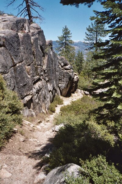
A rare level section of trail. Still a long ways to go before the bottom. This is near the spot where the trail begins to descend to a level area near Morrison Creek and possible desperation camping.
Now good places to stop started to show up here and there: not great spots, but good ones with some views. I would see one of these and turn to Dave and say, "How about here?" Dave would say, "No, lets keep going." This happened a few times until we came to a very nice park-like bench with huge trees, great vistas, and nice spots to pack-park, sit and enjoy the views. I turned back to Dave and said, "How about here? This is a great spot!" Dave, paused and said, "No, let's go to the trail junction first." I sighed, walked about two paces and was surprised to see the iron Yosemite trail junction signs just a few yards ahead. I turned to Dave and said, "We're there." I walked over to a nice spot with views, threw down my pack and prepared to have lunch. Dave looked over, saw the junction signs, and joined me.

Looking at the map, you would not expect that the trail would be as interesting and varied as it really is. It is also plain to see that the trail gets some heavy use, and you would not want to be going up it. Below here the trail begins to switchback in earnest along Morrison Creek.