The Grand Canyon of the Tuolumne and Falls

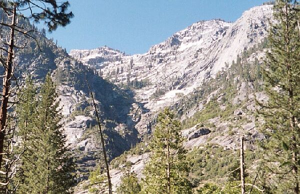
Looking up towards Double Rock (9782). Hey look! Snow!
Beyond the Bridges
The Grand Canyon of the Tuolumne and Falls, June 2004Immediately beyond the bridge we hit a shaded thick forest of ferns. The ferns nearly obscured the trail, and I wondered why, as cool as it looked, a trail so well used was so little maintained. If it had just rained, going through those ferns would have soaked us from the chest down. I would have expected this 4000 feet above on Rancheria Mountain, but not there in Pate Valley.
Just beyond the bridge, the trail is nearly overwhelmed by ferns.
Still, it was not hard to follow the trail, and soon it left the ferns for well used open trail. At this point there was little elevation gain, which did not prevent picturesque views. At one point the trail had been built up to edge the river with granite slopes on one side and water on the other. At another point the trail passed by open forest and a large island populated by a good mix of trees, both evergreen and deciduous. We were still in an area that was profoundly Transition Zone.

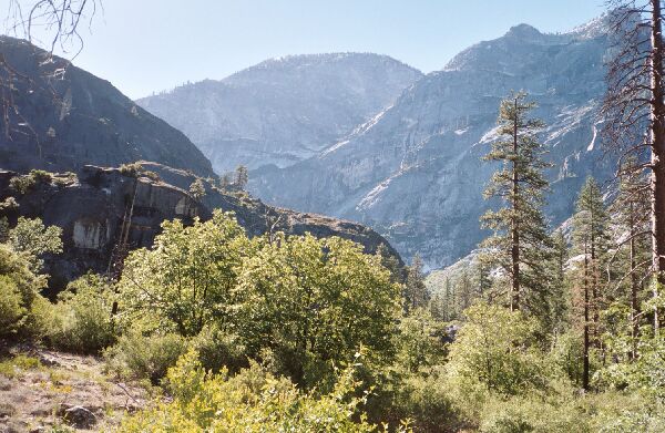
The granite nature of the deep canyon began to assert itself. Looking up canyon.
Further along on this levelish ramble upstream, the first major far view came into sight. This was the granite canyon of Double Rock. It was hard to get a clear view through the trees, but I found the canyon to be unexpectedly impressive. Somewhere up there near the top of the canyon was a fair sized lake at 8673 feet, not far from the Ten Lakes trail.