The Grand Canyon of the Tuolumne and Falls
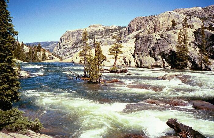
We say our goodby's here to Wildcat Point (mid-picture) over Glen Aulin. This is looking down river from near and below the upper Tuolumne River bridge. This gives you a good idea of the spring flood during runoff. Upper right, part of Cold Mountain.
Beyond Tuolumne Falls
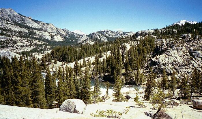
The Grand Canyon of the Tuolumne and Falls, June 2004As we traveled up-river, and emerged from the Tuolumne River canyon, the views really opened up and we could see a great distance in most directions. The true white granite-bound nature of this section of the High Sierra became readily apparent everywhere we looked.
The low point on the horizon is where the PCT goes on the Cold Canyon trail. Beyond that point you can just make out the white of the Matterhorn Peak/Whorl Mountain group. The heights on the left is Cold Mountain.
The cross-country possibilities looked very inviting, something heretofore I had underestimated. There were certainly many trail-less canyons that looked very possible for one to walk most of the length. The fact that many were above 8000 feet at least guaranteed that bush should not be a problem, and high altitude usually meant easier walking and fairly easy fords. The Tuolumne River was a different matter, and we were approaching the only sane way to get across.