Mt. Whitney From Cottonwood Lakes
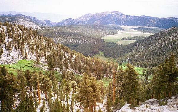
The view from Cottonwood Pass looking back at the starting point. Somewhere out there about mid-picture is the trailhead.
Cottonwood Pass
Mt. Whitney Trip from Cottonwood Lakes Trailhead. June 2000.
When we finally reached the pass at nearly 11,200 feet, we took a breather. The trail has been rerouted near the top, and a trail crew was working on it as we passed through. I can't say the new trail section, which I used, was an improvement.
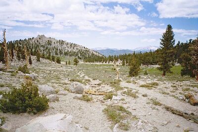
This is the summit of Cottonwood Pass. People get lost here and go the wrong way. About mid-picture is a wooden whatever that marks where you are to turn right if you are heading for Mt. Whitney. If you keep going, well, good luck getting back on-route. You have been warned. Use your map.
I have been over many passes, trailed and untrailed, and the odd thing is how much Cottonwood Pass looks more like a pass you would see under 10,000 feet. You see rolling hills, meadows and sandy expanses, and trees carpeting the hills in all directions. Only by careful examination of the trees and flowers does it tell you that you are at relatively high altitude.
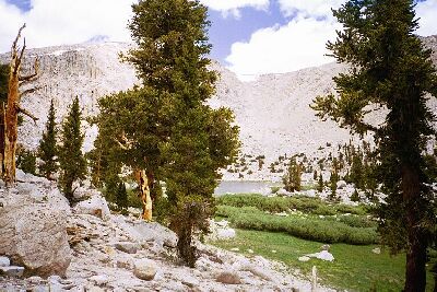
As you trudge past Chicken Springs Lake, you get a partial view of this average looking overused lake.
After a snack and a drink, we marched and switchbacked upward for another grinding 300 feet or so of elevation gain overlooking Chicken Spring Lake before the trail settled down to merely undulating in typical Sierra fashion.
What camping I did see didn't look all that good at Chicken Springs Lake. Maybe it was better than it looked.