Woods Creek and Lakes
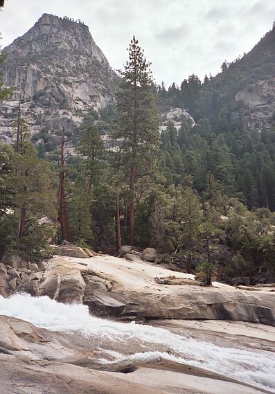
Mist Falls can be quite a sight early season. There are more falls below this point.
Mist Falls
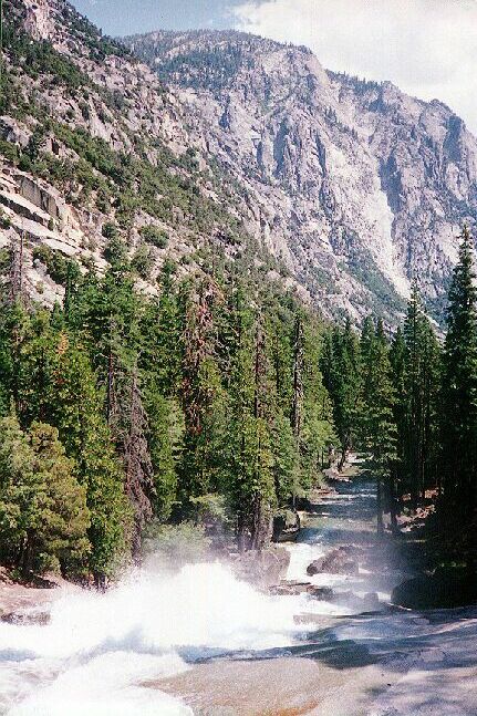
Woods Creek and Lakes, SEKI, Spring 2005After all that levelish hiking on the first part of the hike, the trail finally begins to climb. After a fairly short pitch, the trail reaches the mid-point of Mist Falls and another great place for a break and water refill. If you did not take a break at the bridge, this is the next best place. This middle section has plenty of level spots and places to sit to enjoy the views and falls.
Gardiner Creek cut over Mist Falls. People have used this creek drainage to get to Gardiner Basin. I have studied it at length, but it does not look like an easy way to go at all. First there is the problem of getting across the Kings River, which may be possible at the end of Mist Falls when it levels out. Then it just looks like a rough climb after that with no easy or obvious route, but you never know. It may be easier than it looks.
The number one way to get injured or killed in the wilderness is to be swept over a fall or drown. Beginners should be very aware that wet rocks can be as slippery as ice, and a sudden short slip can get you sucked right into fast flowing water and over a fall. Place your feet carefully and never step on wet rock. Treat dark streaks on rocks as oil slicks. I have broken bones on slick Sierra granite and I lost a friend who went over a fall. Be careful out there...
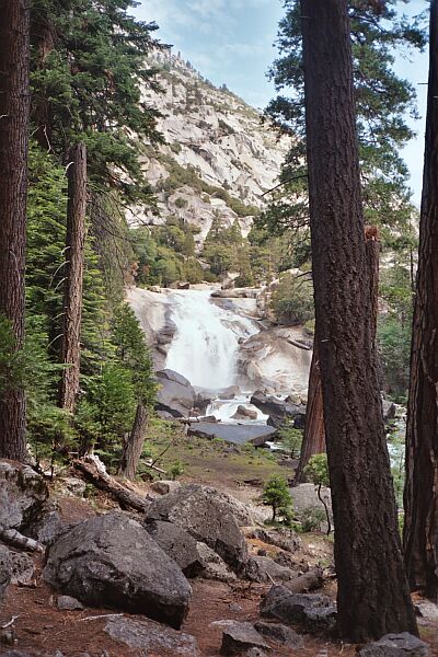
Looking down Mist Falls from mid-falls near where the trail closes with the falls. Gardiner Creek outlet is down there.
We had been to Mist Falls and Paradise Valley way too many times, so we did not stop to look at the falls. One time early season on the first day that Kings Canyon was open for the season, we went to Paradise Valley for a short trip. It snowed a good deal of the time, but at that time of the year it was a treat and just coated everything with an inch or two of snow. Nice.