Woods Creek and Lakes
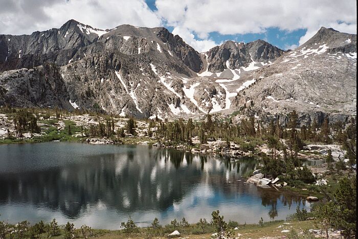
The first Woods Lake as you enter the basin. Back further behind this lake is three other large lakes. The high peak on the right is 3764 meters (~12339 feet) and the high snowy peak on the left is 3903 meters (~12479 feet).
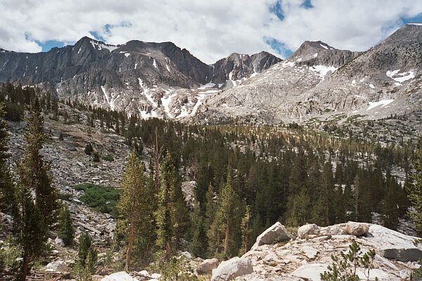
Entering Woods Lake Basin
Woods Creek and Lakes, SEKI, Spring 2005The weather was not the best, but not the worst either. It was clouding up towards afternoon (typical), something I associate with the Sierra as it dries up after winter, and the winter of 2005 was a record breaker. Another reason why fall is a good time to backpack: no mosquitoes and generally no afternoon thunderstorms as a rule.
On the Woods Lake trail looking at the opening of Woods Lake Basin.
I just realized that this trip was really done in early July. I was fooled because actually the conditions were more like late spring in a normal year, but 2005 was far from normal. Then again, it may be the norm in future years. We will see...
You can see the trail going from left to right crossing this small stream. The colorful red and white Sierra Crest begins to show itself on the horizon. A typical section of Woods Lake Basin.
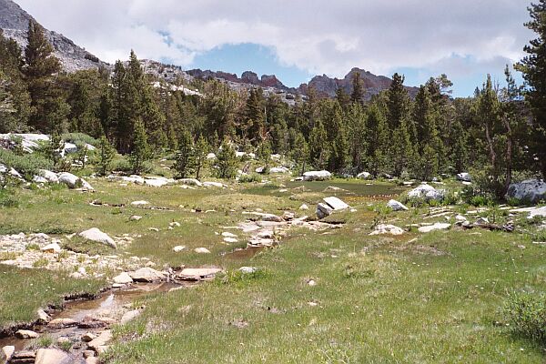
Once the trail leveled out we soon passed the first lake in the basin, a nice reflecting pool on a calmer day. There looked to be signs of camps by the lake, put it looked pretty pristine. The far peaks looked spectacular: funny none had any names. We were now passing through flower gardens and grassy swards, perfect alpine terrain and a welcome sight. We were at the upper end of treeline, my favorite place to be in in high country of the Sierra.
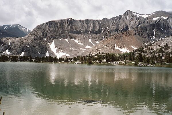
The second large lake you meet on the trail in Woods Lake Basin.
When we reached the second and third lakes of the basin, we began to look for a camp. I figured there were camps above among the small fourth, fifth and sixth lakes, but we wanted to be in the area of the large second and third lakes. We needed to set up soon because we were sure it would rain soon. We dropped our packs and searched the area between the second and third lakes for a good while. Eventually we settled on an obviously used area in some trees not too far from water, with plenty of granite for cooking and eating and with good views in every direction.