The Benson Lake Loop
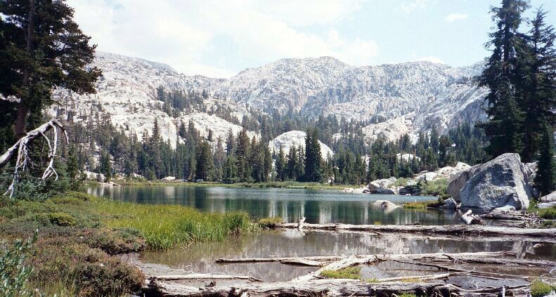
Looking southeast from the inlet of Robinson Lake. Beyond is an unnamed crest of the Hoover Wilderness.
Robinson Lake
The Benson Lake Loop, August 2002
So far there were many a small streams flowing across the trail that I could refill water bottles from, but now the trail crossed Robinson Creek, which looked like it may be a real wet task early season. For me, it was a rock hop.After the crossing, the trail was through messing around with easy tread: it was now serious about climbing. Already I had walked a good distance (a little over 5 miles), but it had been fairly easy walking despite the heavy first day pack. First, as a warm-up, it climbed moderately in shaded forest and re-crossed the canyons main stream: again a probable wet and tricky crossing early season. After more determined climbing and meandering, the trail hit the base of a sunny gully. Now began
"Switch-Backs, The", in large bold letters. Once again they were very well graded and maintained, but there were so many of them! At one point you could stand at one elbow of trail and look almost straight down on seeming countless switch-backs. It was quite a sight, and kind of cool in its own right.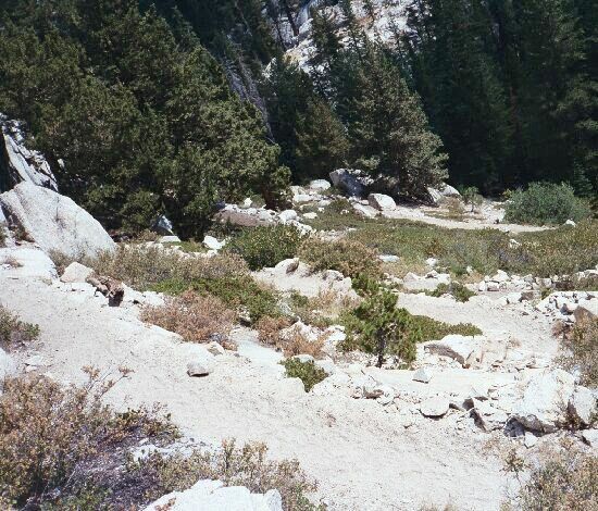
The switchbacks. There are more below unseen and still more above. Then again, they were well graded. Remember, this is look down, as you can see by the angle of the trees.
After that section, the trail leveled a bit, went right a ways and hit another section of switch-backs … followed by yet another tight switch-back set. By the time I hit the trail junction (and by this time grumbling things like, "Where the heck is that bleeding junction!"), I was ready for a major rest, not to mention lunch. There I met other dog-tired hikers (with a dog) who had just humped up that trail. Too bad for them, they were heading for Peeler Lake and even more switch-backs on roller-coaster trail.
I believe this is a very large spring with water so pure that from some angles it looks blue. Above you can see Crown Point.
After a good long rest in my chair and a newly filled belly, I was ready to hit the trail and find camp. There was climbing right away and I was in no shape to enjoy it, so I took it real slow. At one point the trail passed near a turbulent clear
blue pool of water: very unusual. I had to conclude that this pool was a large spring, which was obviously overflowing into a stream that drained into Robinson Lakes. Great place to get water.Further along the trail I reached the fairly scenic Robinson Lakes, again with a plethora of unsightly "No Camping Here" signs everywhere. The trail crossed an isthmus between the two lakes, curved around the shore of the larger lake and crossed a small garden inlet stream. Not far from there was a use trail to a good sized fair camp, but I did not get close enough to see if there were any yellow signs there.


