The Benson Lake Loop

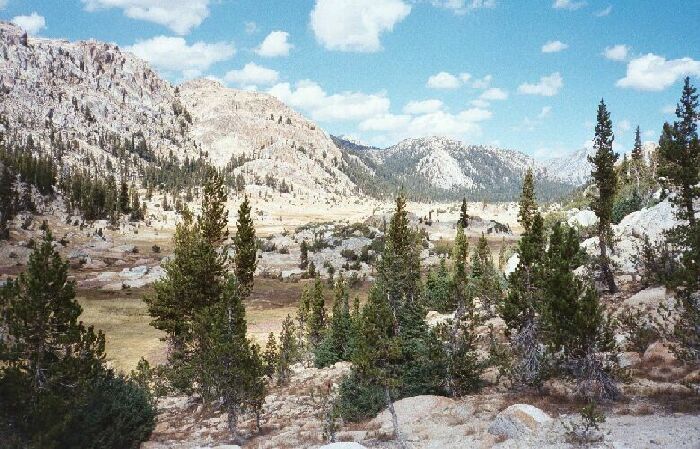
From very near Arndt Lake on a use trail, looking north at the long long Rancheria Creek meadow.
Rancheria Creek Meadow
The Benson Lake Loop, August 2002
After my rest break, I found the previously mentioned use trail behind the camp and trudged down the broken narrow track. It was an uneventful march down to the main trail, with an easy crossing of the river. It is a semi-irony that I was traveling along Rancheria Creek because it dumps into Hetch-Hetchy via Rancheria Falls, an area I have been to and explored dozens of times. The bridge over the narrow granite chute above Rancheria Falls is a popular destination, and now I was seeing the headwaters of those falls. In addition, these waters pass through some of the most remote and unvisited locations in the Sierra.Ahead is the lodgepole forest mentioned below, and a ways beyond is the trail junction for Rock Island Pass. If you are heading for Rock Island Pass and you have the time and energy, it may be possible to head cross country east and hit the Rock Island Pass trail. Check the route on the map.
The hike settled down into a slog in the vast broad open canyon. Crown Point was looking like its namesake in the distance, and seemed the highest point in the area (11,346 feet). As I neared the first junction, which was perhaps still a mile away, the trail entered a lodgepole forest devoid of views and undulated in a most unpleasant way, or so it seemed as I began to get tired. After a short eternity, the trail emerged into a large meadow again and met the junction to Snow Lake and Rock Island Pass, and by the looks of that trail, it did not get the use of the trail to Peeler Lake. It also required a nearby stream crossing, which is probably a wet crossing early season.