A Backpack to the Remote Lyell Fork of the Merced River

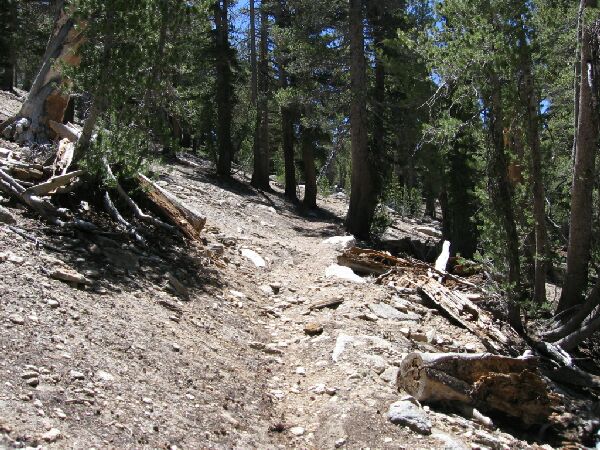
Some of the "side-hilling traverse" mentioned in the text below.
The High Trail
A Trail and Cross-Country Route to the Lyell Fork, July 2007
Back on the trail, the surroundings again took on the trappings of a dry forest, mostly dirt, rocks and trees, veering wide away from the canyon lip before heading back. Nearing the canyon edge we began a side-hilling traverse that sometimes featured some far views through the trees. There would be better views later. Travel was not too hard with only about 250 feet of real altitude gain (with some up and down thrown in to make it even more gain). When the trail began to descent to "Cony Crags Creek", we began to see part of Cony Crags through the trees, though it was not much to look at being mostly a pile of rocks. However, the surroundings began to take on a decidedly more verdant tone with more trees, grass and bushes

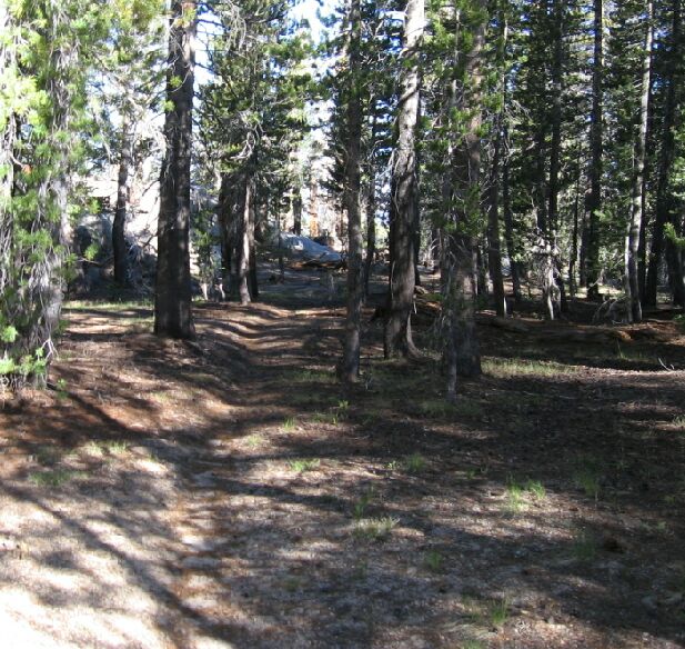
Some typical High Trail. Not a lot of views but sometimes pleasant.

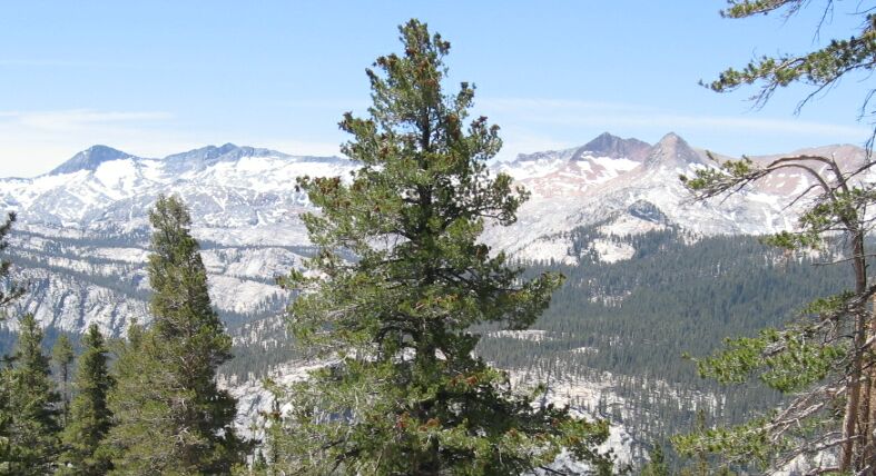
We started to see some views peeking through the trees. Red Peak is plainly in view.