A Backpack to the Remote Lyell Fork of the Merced River

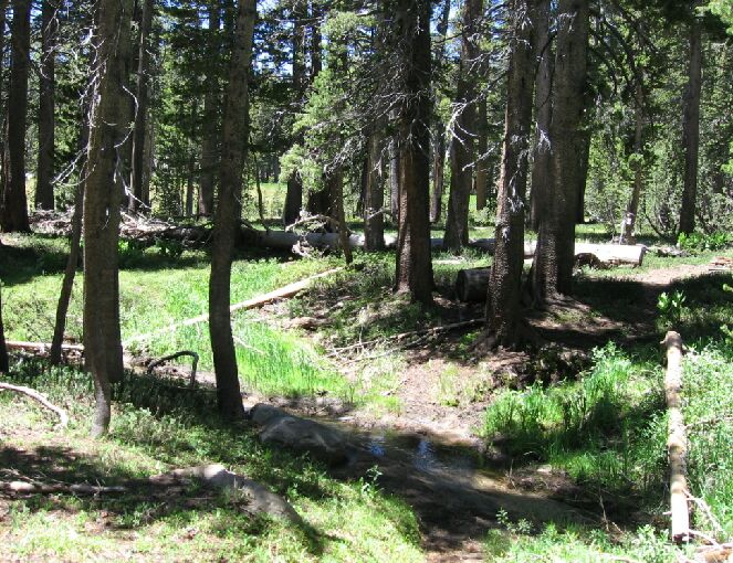
The ford of the second creek of the High Trail. Over by the downed log, our rest area.
The Second High Trail Creek
A Trail and Cross-Country Route to the Lyell Fork, July 2007
As we drew near the second (and the nearby third) creek of the High Trail, we entered an oasis of pleasant ground cover and flowers with a large green meadow to our right. Right near the creek (which eventually plunges over the canyon wall to water Washburn Lake over 2000 feet below) was an ideal shaded flat area among the trees overlooking the meadow (we kept an eye out for bears because we saw scat) where we dropped out packs once again to rest and to fetch more water. This was an even nicer spot than the last creek, and up-stream a ways I could see an area that looked suspiciously like an ideal area to camp. Heck, there were a number of areas that would make a great low/no impact backpacker camp.

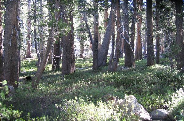
Over there beyond the near trees looked like agood spot for camping: level, handy rocks, shaded, good places for tents and near enough to water.
After a bit, Dave decided to go on ahead because he wanted to get to "Waterfall Camp" and take a nap. Sounded like a good idea. I could take my time, enjoy the scenery and take pictures without feeling like I was holding anyone up. I would enjoy this pleasant spot before traveling on.