A Backpack to the Remote Lyell Fork of the Merced River

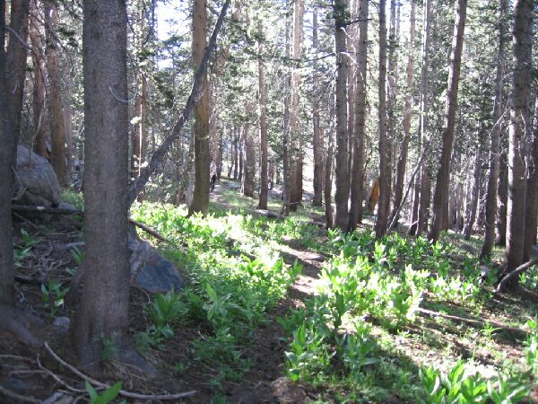
This page may not have the most exciting pictures, but it does give you an idea of the ever changing terrain, like this patch of Mule Ears, which by the way makes great bio-degradable toilet paper.
First We Go Up The Hilll...
A Trail and Cross-Country Route to the Lyell Fork, July 2007
And travel on I eventually did, taking my time. The day was still young and I and plenty of time. Being so far into the backcountry, it is a good policy to take your time. Some of my worst injuries happened in the most innocent situations, so being more deliberate increases your chances of avoiding something silly. So, I would enjoy a walk in the park while taking my time.

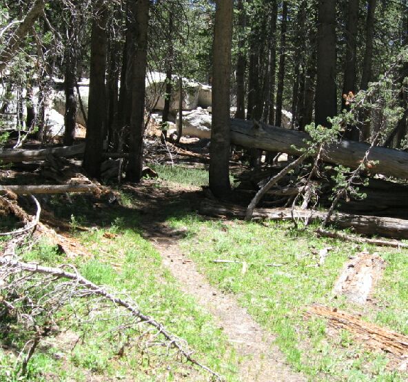
Sawn logs and faint trail lead the way.
After stepping over the small creek it was a very pleasant level stroll through tree shaded luxuriant growth that threatened to overtake the trail. A few flowers were already in bloom, early for this time of year. After a 100 yards or so I crossed the main stream of the area that begins its watery life high on the slopes of Mt. Florence. After the crossing the vegetation thinned out and began the last climb of the day for me.

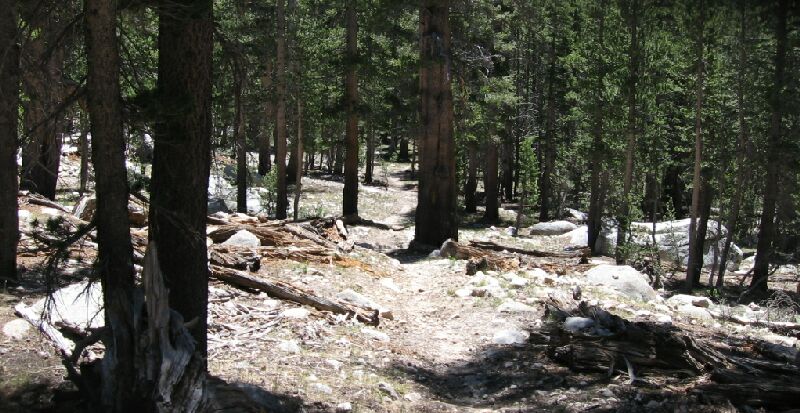
Here the trail just arrows through the forest...
The terrain grew a bit drier, but more or less maintained a greener and closer nature, with the trail dodging rocks and trees along an often grass-lined path. This was without doubt the most pleasant stretch of the High Trail. Again the trail gained about 250 feet (to ~9840 feet), more if you add in all the ups and downs before finally heading down at last for the home stretch.