A Backpack to the Remote Lyell Fork of the Merced River

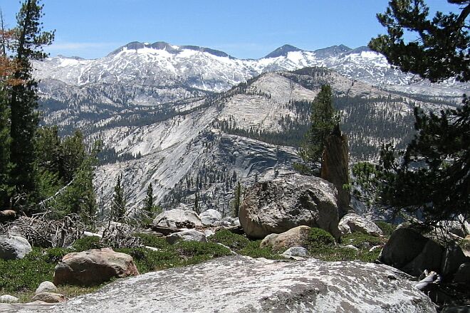
Again, there are peeks through the trees of...peaks. Here, the Clark Range.
...Then We Go Down The Hill
A Trail and Cross-Country Route to the Lyell Fork, July 2007
This downward stretch is very interesting. First, it plunges down to the only real switchbacks at this end of the trail to a stellar viewpoint at ~9620 feet. Here I had an unobstructed view of the entire five-canyon junction, the whole Clark Range and more. I could look straight down on the canyon bottom and see the trail there, including that excellent site I found on the Merced River among slides, pools and falls (see The Ottoway Lakes Loop story). Red Peak and Red Peak Pass was easy to pick out, along with Quartzite Peak, Mt. Clark, Grey Peak, Red Peak, Ottoway Peak, Merced Peak, Triple Divide Peak, Post Peak and Isberg Pass and much more. Right below my feet I could see a trail coming down the Merced Peak Fork. I could look right up the Triple Peak Fork that I hiked a few years ago. It was like the best map ever, laid out before me. More about this on our way out of the Lyell Fork.

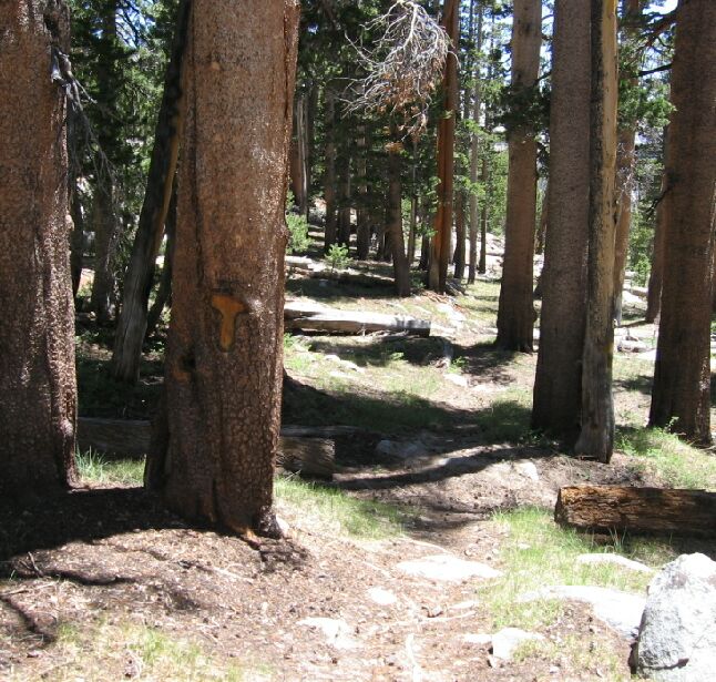
All along the trail are these "T" blazes that are more than 100 years old.
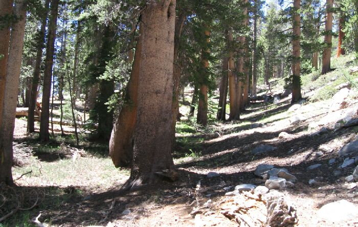
After leaving that viewpoint I entered the next interesting area of the hike. Looking at the map, I thought I would be entering a hot and exposed area, but instead I was traveling along a wooded master joint, a natural pathway that F. Solomons (originator of the idea of the John Muir Trail) commented on in the 1800’s, saying it was a made-to-order pathway into the Lyell Fork Canyon. Indeed, it was a gentle slope and trail with rock walls on one side and the drop into the Merced River Canyon on the other, all shaded by large trees with "T" blazes on their ancient bark.

The wooded wide master joint the trail follows, a ready made Sierra highway. To the left, a drop-off. To the right, hills and cliffs.