A Backpack to the Remote Lyell Fork of the Merced River

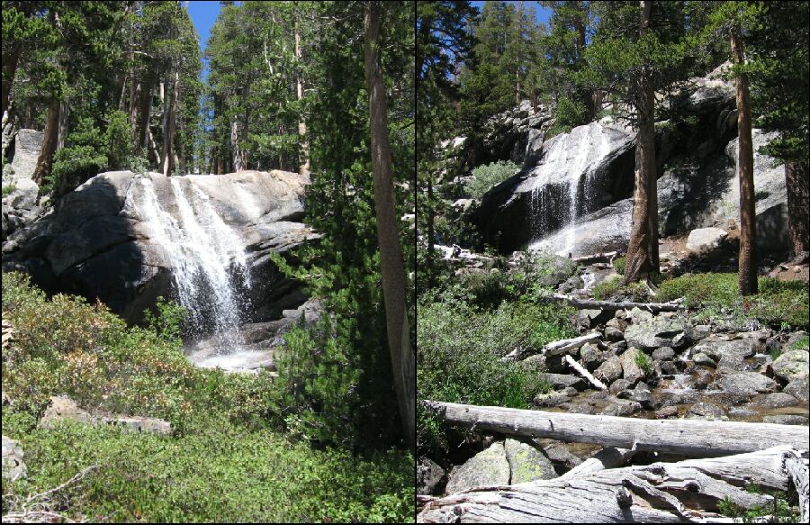
Two different view angels of the waterfall and last 'major' stream on the High Trail, high above the mouth of the Lyell Fork canyon. This water should be available mostly year-round.
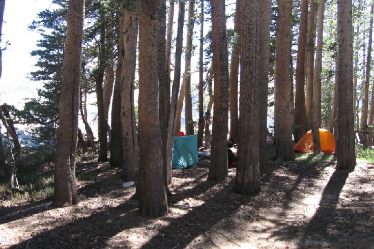
"Waterfall Camp"
A Trail and Cross-Country Route to the Lyell Fork, July 2007
Back on the trail, it became a fairly steep descent (my toe was throbbing with all this downhill!) that soon brought me to a waterfall feeding a step-over stream and finally just beyond, "Waterfall Camp"!

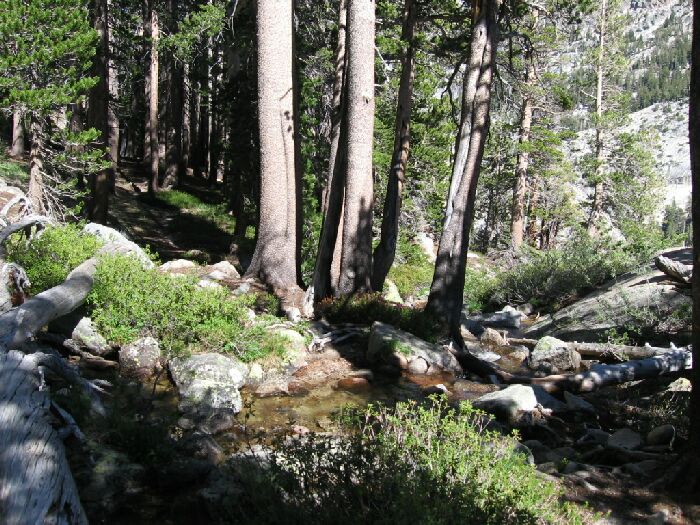
The ford of "Waterfall Camp Creek", and just beyond in the shade, the camp.
This is one of the classic camps in the Sierra, all the better because about 20 yards down trail is another camp area only slightly the lesser of the two camps. That means there is plenty of room in the area, a good thing in case one of the camps are occupied. We had the prime camp, which means we had ready access to water, flat spots, no useless fire-pit, shade and the lullaby of the falls nearby.

Never have I been so comfortable so close to a cliff.
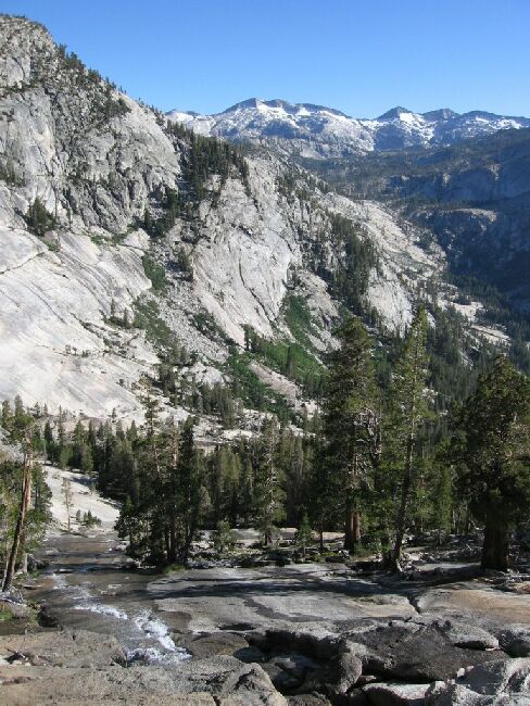
But other features recommend the camp. First there is the waterfall, which launches itself over the lip of a rock above the trail in roughly three equal parts about 30 feet from the trail and the ford, where it cascades down a slope to the ford. From there it takes a left into an "S" turn and then launches itself in a cascade down a pure unjointed steep slope of granite, part of the canyon walls of the Lyell Fork. It drops about 800 feet into the depth of the canyon below to meet the Lyell Fork, but you lose sight of the waters long before it reaches the river.

The waters of the waterfall of "Waterfall Camp" spill over the lip of the canyon to join the Lyell Fork of the Merced River. Remember, the is looking down!