A Backpack to the Remote Lyell Fork of the Merced River

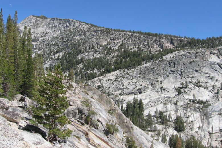
The line of trees going from lower left to upper tight is where the High Trail leaves the Lyell Fork.
A Camp with a View
A Trail and Cross-Country Route to the Lyell Fork, July 2007
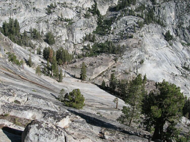
The camp, not far from the ford, is level and decorated with a scattering of lodgepoles, with a few carpets of low groundcover greenery here and there that added a decorative touch to the surroundings. Not to far from the tent sites is the granite lip of the Lyell Fork canyon and the steep slope of unjointed glacier polished granite that might tempt a suicidal skate-boarder. Far below was a wooded flat where a large black bear wandered out and headed down canyon.

From the grove of trees left of center picture, a bear wandered out and headed down the granite gully. That grove looked like a camp site.
Across from the camp towards the north was a gully that provided easy access upwards to the top of the falls and excursions above to other vantage points, I suspected the gully was a sometimes overflow joint in times of flood. As it was, some water was seeping down the joint and the north wall.

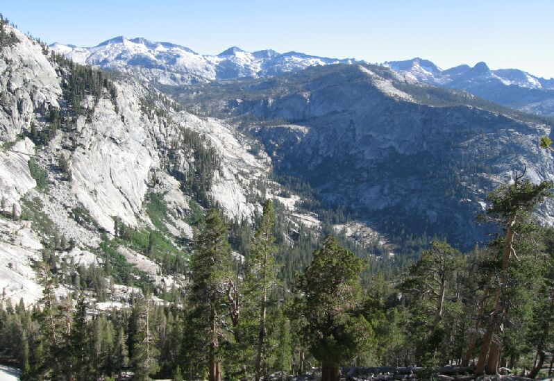
Looking down towards the five canyon junction, we got a good view of the Clark Range and the Merced Peak Fork canyon.
From the lip of the canyon not 10 feet from my tent was a spectacular view of the lower Lyell Fork Canyon, the whole skyline of the Clark Divide and the junction of the five canyons. You would be hard pressed to find a more ideal camp after a day of hard marching. The views would enhance our dining pleasure.