A Backpack to the Remote Lyell Fork of the Merced River

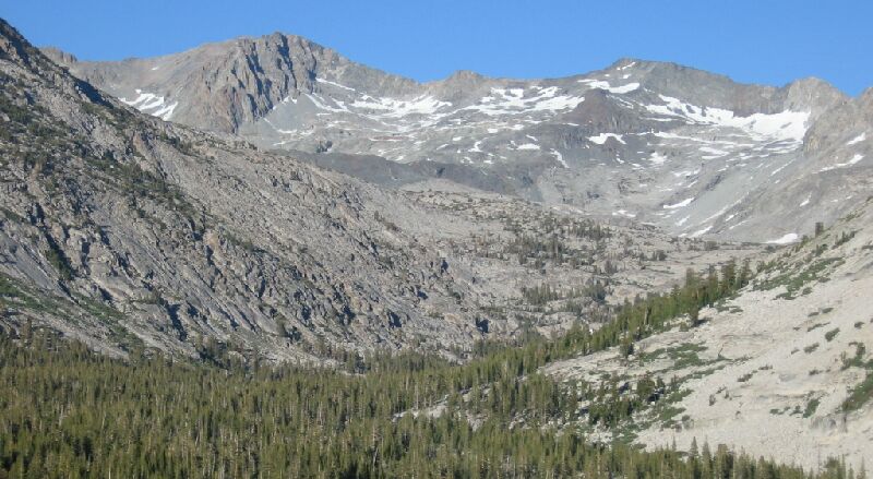
Looking up the Lyell Fork of the Merced River, you can just make out the white cascade of that creek.
The Lyell Fork and Mt. Lyell
A Trail and Cross-Country Route to the Lyell Fork, July 2007
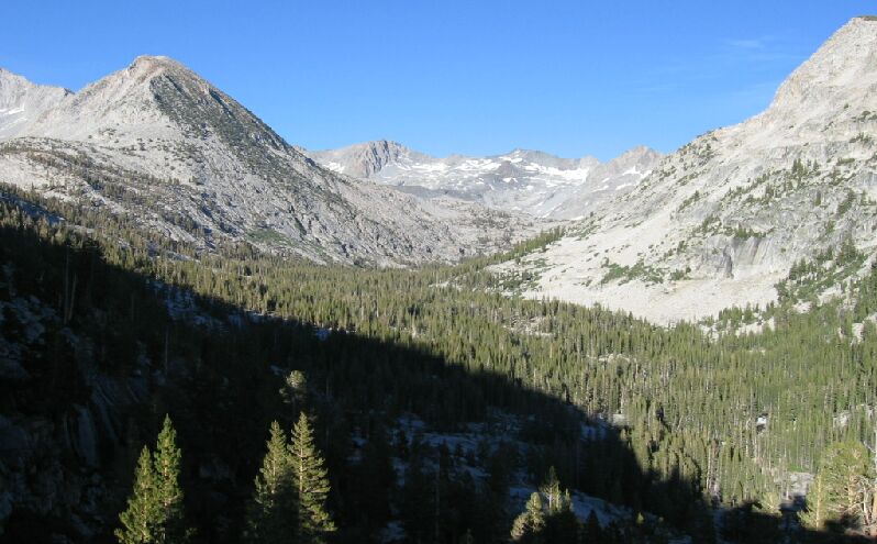
Nearby, close to the alternate camp down-trail, was a point or shoulder of granite that protrudes into the Lyell Fork canyon, which has fine views all around, including the upper canyon of the Lyell Fork. You can see this point on a 7.5 map. We walked over there across the open granite and looked east into the Lyell Fork. Below we could see that the canyon hooks slightly to the right, and right above it on the horizon was 12,442-foot Electra Peak. Just in sight was the frothy mane of the Lyell Fork cascade and falls, which we will see later.

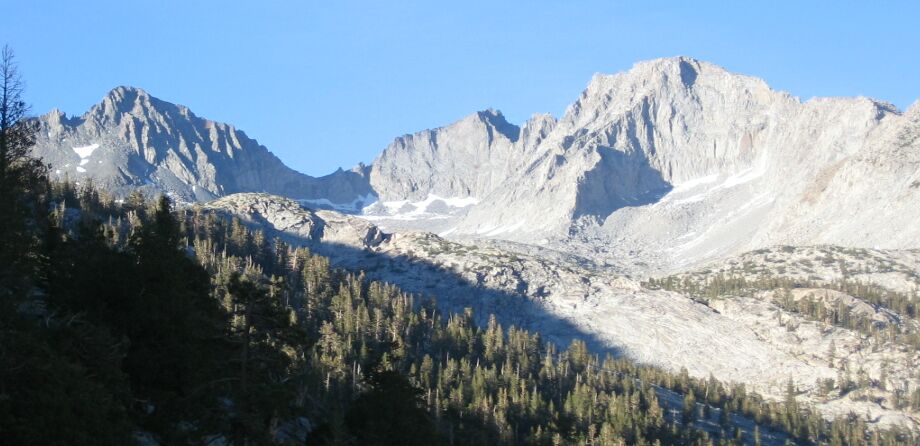
Mt. Lyell (center horizon), the highest point in Yosemite is to the right of that gray fluted beast (Mt. Maclure) on the left horizon. There are lots of lakes up there in Hutchings Creek Canyon.
To out left was the worthy destination of the glacier carved Hutchings Creek canyon with Mt. Lyell just in view. To our right was a series of master joints, the largest of which held the High Trail, a joint that Solomons was relieved to find and use when he explored the area. Below we could make out some pools and falls of the Lyell Fork creek among the heavy woods of the canyon.

This long shot gives little clue of the wonders up there in that canyon.