A Backpack to the Remote Lyell Fork of the Merced River

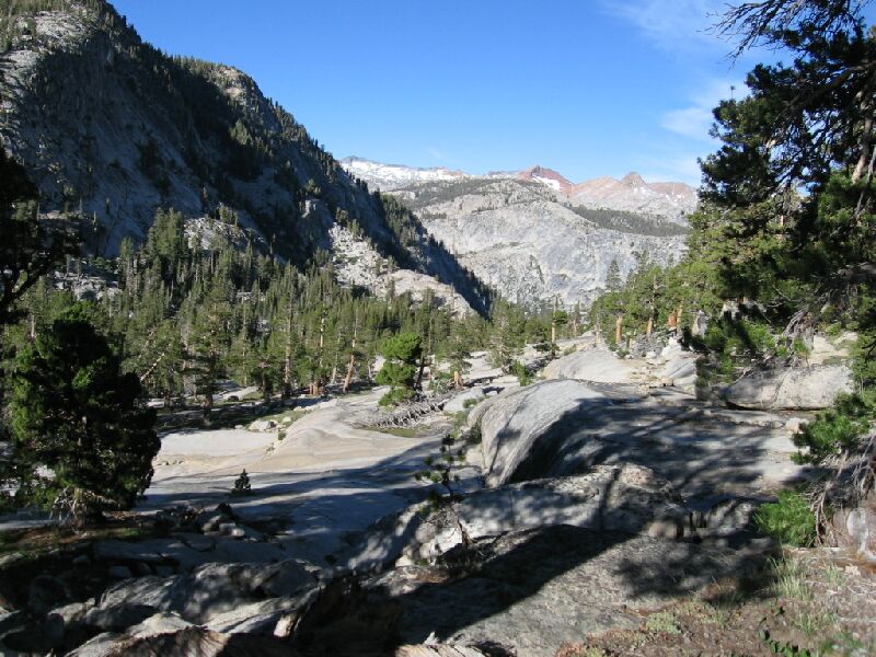
This is the point we left the trail (mid-right) and headed up the canyon. In the distance, Red Peak and the five canyon junction. The walking from here was easy.
Lyell Fork Morning
A Trail and Cross-Country Route to the Lyell Fork, July 2007
DAY ~5 Miles, ~1300 feet of gain and loss from "Waterfall Camp" to Lyell Fork Canyon and back, Cross-Country most of the way.
As soon as it was light, we were up and at breakfast and preparing for a day hike into the Lyell Fork. Dave was not feeling much better and was actually sneezing. Still, he was game for a walk.

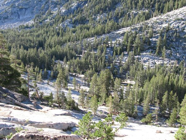
The canyon bottom from the trail. At the upper left, the grove of trees where the High Trail leaves the canyon up a master joint (going from mid-left to upper right).
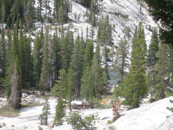
The trail passed the backup campsite near "the shoulder" and then began a steep exposed descent on mostly rocky stairs before leveling out mostly along a granite shelf. Here the trail was mostly a faint track, sometimes only marked by a row of trailside rocks. Below to our right was snowy white sheet-granite studded with trees. The canyon was bisected by the creek, which hosted the occasional clear blue-green attractive pool. There was said to be camps down there, and I believed it. It looked nice below and I wish I had spent more time walking down the stream.

From the trail, looking down at one of the blue-green pools on the Lyell Fork.