A Backpack to the Remote Lyell Fork of the Merced River

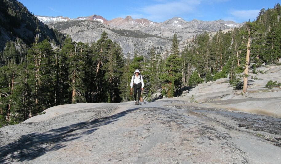
Dave trudges up the smooth rock, with Red Peak (the red one with snow) above his head.
Vast Granite Slabs
A Trail and Cross-Country Route to the Lyell Fork, July 2007
After about a mile of walking the trail hooked right towards the ford, and as planned, I took a left up the canyon. There the walking was mostly over clean sheets of white granite with only the occasional tree or erratic to dodge. I stayed somewhat high above the stream keeping to the wide-open expanses of smooth ice polished granite.

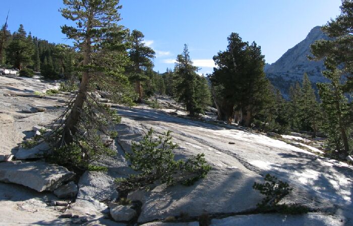
The only (lame) picture I took looking up towards Hutchings Creek Canyon. You can see some glacier polish here.
As we passed into the ancient path of the Hutchings Creek canyon glacier, the surroundings became an even larger flat area of unbroken slanted white granite. Here it would be easy to hike up the easy open granite slope up into the Hutchings Creek canyon. Why I did not point my camera upwards towards that canyon, I don’t know. Such huge areas of unbroken rock are not all that common. It was the most pronounced character of the canyon: clean white sheets of granite, decorative trees and water sliding over clean rock. It was a granite wilderness wonderland.

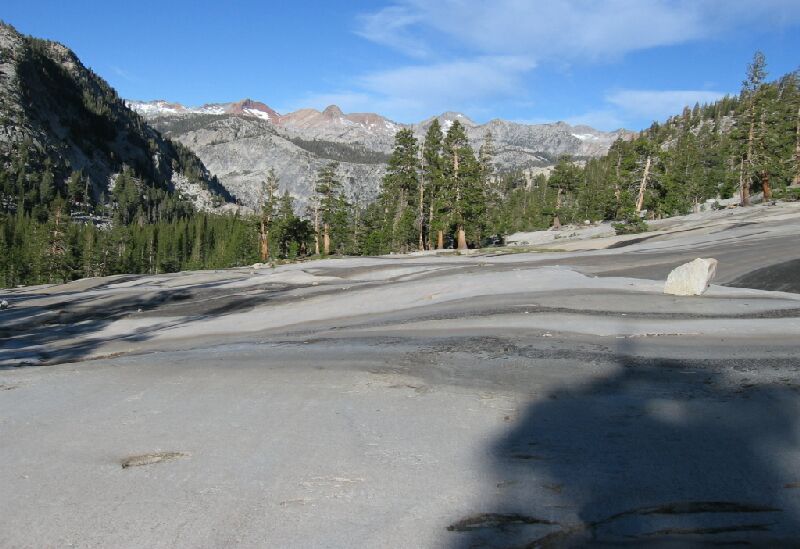
Looking back towards Red Peak on the smooth granite bed of the Hutchings Creek canyon glacier. Lower right corner you can see some glacier chatter on the rock, not to mention the lines on the rock pointing in the direction of the flow of the glacier.