A Backpack to the Remote Lyell Fork of the Merced River

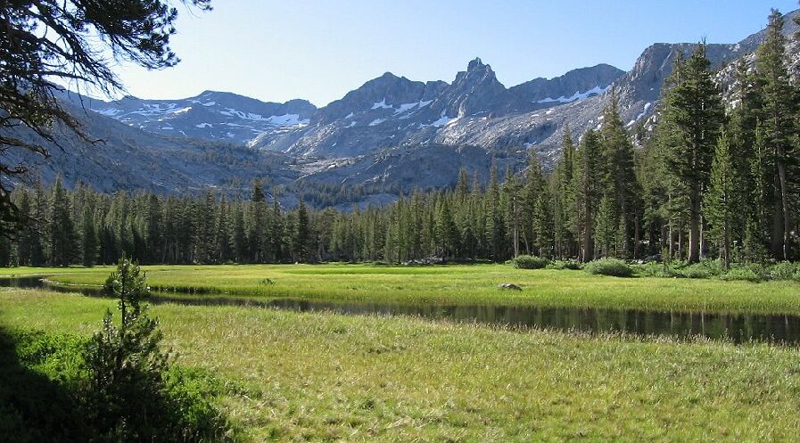
Early morning in the Lyell Fork canyon (see the shadows?). We will see more of this later. Mt Ansel Adams is that jagged peak on the right-of-middle horizon. You can also see the frothy Lyel Fork cascade in the distance.
Camp and Meadow
A Trail and Cross-Country Route to the Lyell Fork, July 2007
After easy walking a fair distance contouring up the canyon we came to a long rock wall blocking our path. I headed right and mounted the wall (very near a waterfall) then headed left along the wall. There was a sheer drop on either side, but after a bit I found a break on the right for an easy way down into the gully on the right, and from there an easy slope that was the edge of a forested and fern garden area, which mostly spelled the end of the slab granite walking for a while.

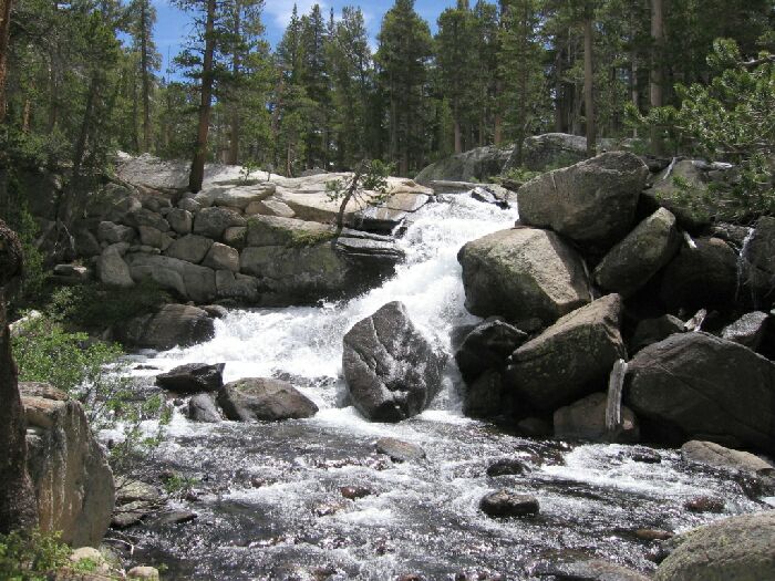
The waterfall mentioned in the above text. We will see more of this later as well.
A short walk through forest brought us within sight of a large meadow with the Lyell Fork running through it. We veered over towards it and came upon the most developed camp for miles around, a packer camp to be sure.
Dave takes a break in the large packer camp near the first canyon meadow.
It was early season so the camp and area was in great shape, not that it got a huge amount of use. I could see that had been used fairly recently by the fire pit condition, which was large enough to roast a wild boar whole. I have reason to believe that this is the site of Ansel Adams camp early in the 20th century, and perhaps the Solomons camp. It certainly was in a logical ideal dry location in a very flat area with accessibility to water and feed for horses (meadow). If I ever came back to this area (from the Isberg Pass direction probably), this will be my camp.