A Backpack to the Remote Lyell Fork of the Merced River

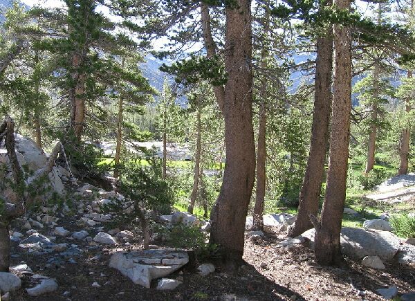
Near the second meadow and the more unused camp near these rocks. Above left is part of the opening of the Hutchings Creek canyon.
Hutchings Creek
A Trail and Cross-Country Route to the Lyell Fork, July 2007
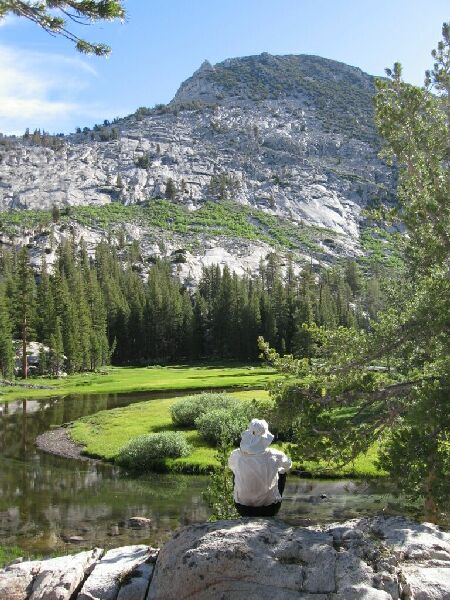
A short distance from the camp was the banks of the Lyell Fork creek. Stepping out into the sun on the creek shore a vista smacked me in the face that was just stunning. Dominating the horizon was Mt. Ansel Adams jutting up into the sky like a granite fortress with gabled spites. Below was the headwall of the canyon, and the only real obstacle to travel up the canyon. So far it looked passable. The ridgeline was festooned with glacier ruminants and snow clinging to the walls that demonstrated how early it still was in the season. Tearing my eyes from this vista, we headed up-canyon.

I am standing in the middle of the fairly unused camp (see the kitchen-rock?) near the second meadow.
Once past the meadow we were back in the loamy shaded forest. We were now in the forest of the threaded waters of Hutchings Creek. The map may show only one stream, but here there were many. After a bit of searching around, we managed to get across the multiple channels without getting our feet wet.

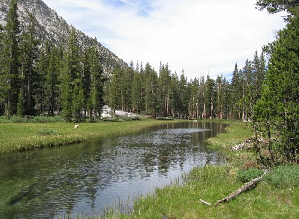
Looking downstream from near the packer camp.