A Backpack to the Remote Lyell Fork of the Merced River
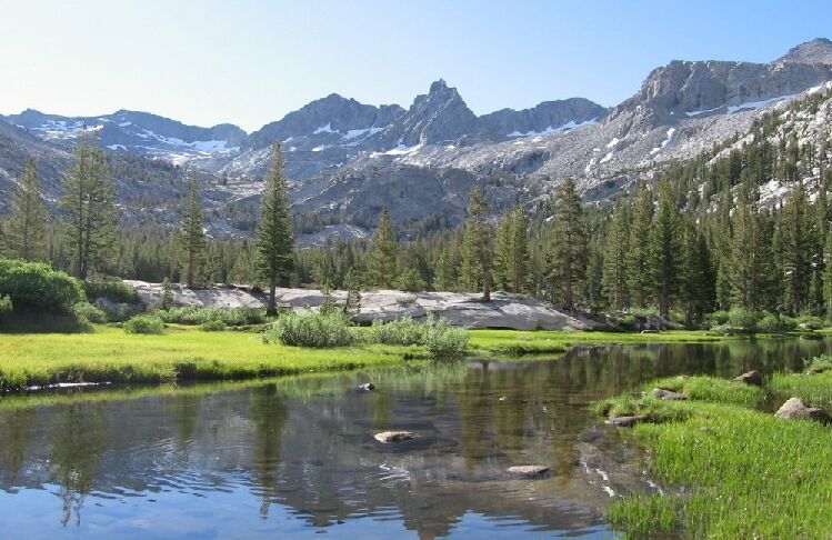
Mt. Lyell, the Lyell Fork and the headwall meadow. This is the last page with pictures at this end of the canyon, so a few extra pictures here before we leave.
Heading Back
A Trail and Cross-Country Route to the Lyell Fork, July 2007
Dave is not a patient person when he is not feeling well (who is?). I picked my way over to him at the rock and explained that beyond where he could see the terrain was much more complex and took more time than expected. Dave was in a lather to go, and at this point just wanted to get back to camp, take something and rest.
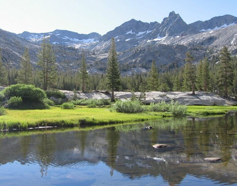
The east end of the headwall meadow whewre the Lyell Fork creek enters the meadow. Foerster Peak can be seen here peeking over the ridge.
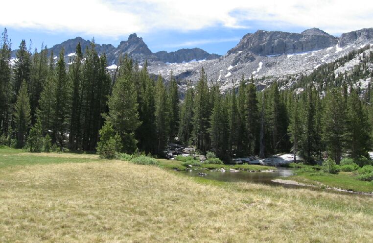
The last look of the view from the west end of the headwall meadow.
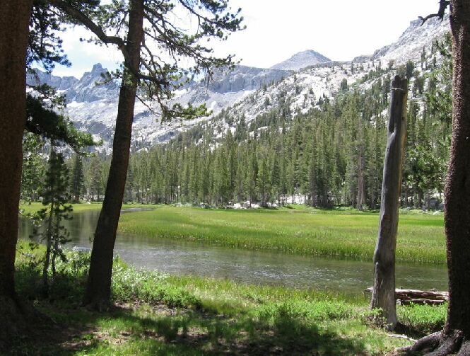
This is looking from the camp at the "Ansel Adams Meadow Camp" (the western meadow).
We headed back, this time staying high on the slabs above the forest, and that seemed to work out well. Eventually we were encouraged to take a slope down to the remaining forest just before it broke off next to the large meadow. We retraced our steps back to the "Solomons Picture" area where I took yet more pictures. After threading our way through the multi-channels of Hutchings Creek we were back in the "Ansel Adams Camp" where we stopped for a bite to eat.