A Backpack to the Remote Lyell Fork of the Merced River

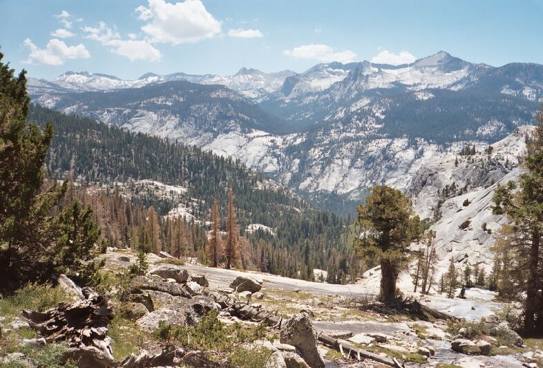
The whole Clark Range from Triple Divide Peak to Mt. Clark. More dead trees are showing up.
Clark Range and Babcock Dome
A Trail and Cross-Country Route to the Lyell Fork, July 2007
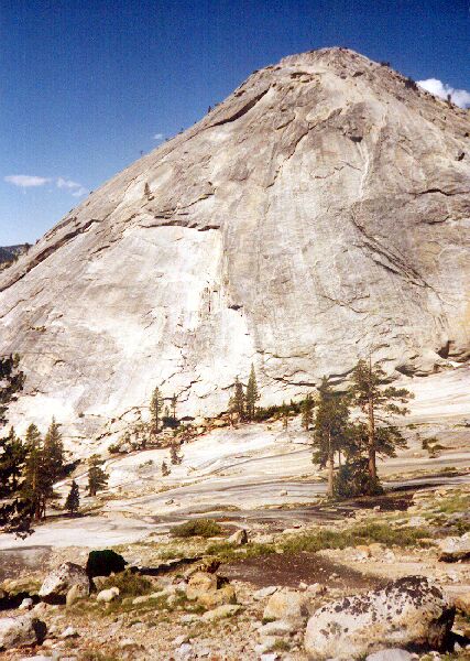
Climbing higher, you can look across a sheet of pure granite to Fletcher Creek and above it the beautiful "Babcock Dome". It would be nice to drop packs and walk over to the creek. The only thing to mar the view is that the trees that managed to grow out of the cracks in the sheet granite were mostly all dead. At least I got to see the view when it was more alive, years ago.

This is "Babcock Dome" and Fletcher Creek 16 years ago.
Another very old picture of the Clark Range, and you can see that the trees are a healthy green.
Babcock Dome and Fletcher Creek, 2007.
Towards the top of the switchbacks the trail finally finds a bit of shade. That is a good thing because up to that point the trail was a hot sun exposed climb. Eventually the trail sort of levels off (but not completely) and begins a long traverse to the left, which is a welcome change. The views to the left are in their full glory, but it is best to wait for the "panorama point" before taking any pictures. I saw Dave up ahead stopping at "panorama point" and I was soon there pretty quick myself. Time for some pictures!