A Backpack to the Remote Lyell Fork of the Merced River

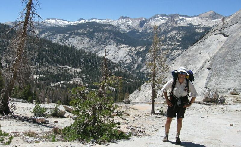
Dave poses at the obvious panorama point along the trail: one of the best views in Yosemite
Panorama of the Merced River Canyon Area
A Trail and Cross-Country Route to the Lyell Fork, July 2007
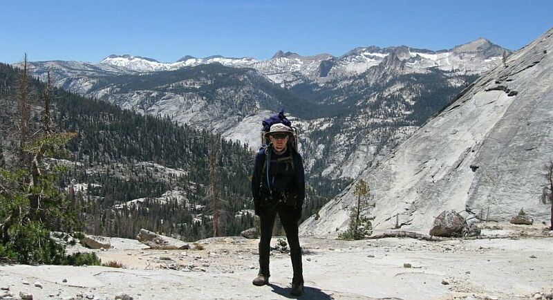
As you can see from the pictures, most of the trees were left behind and we had a nearly unobstructed view of the whole Clark Range and "Babcock Dome", which from this point looks remarkably similar to the side of Half Dome where the cables are. Again, what few trees that were nearby were dead or mostly dead, which will sadly improve the views in the future.

My turn to block the view of the Clark Range.
Here the whole area below the trail is continuous slab white granite all the way to Fletcher Creek and up "Babcock Dome", a rock-covered area the trail has been busy skirting. After stopping for a few minutes to take some pictures and admire the grand view, which is the best trail view in the area, we headed back to the trail.