A Backpack to the Remote Lyell Fork of the Merced River

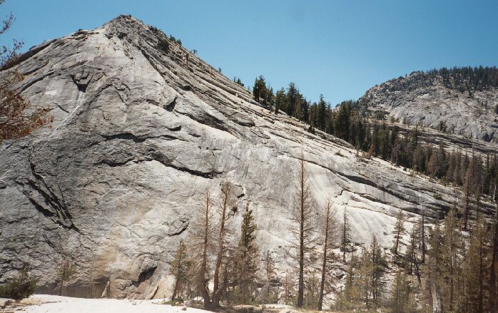
From the trail you can see some of the back side of "Babcock Dome".
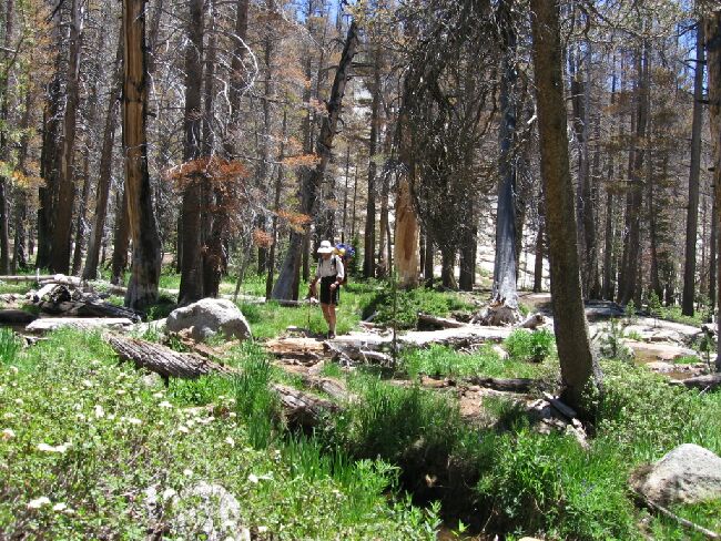
"Babcock Forest"
A Trail and Cross-Country Route to the Lyell Fork, July 2007
The rocky trail heads immediately into the Fletcher Creek Canyon and after being lowered onto sod trail by some rock-hewn switch-backs, the trail arrowed into the canyon forest on mostly level tread. I have always remembered this section as being very lush, shaded and filled with wildflowers and ferns. The forest was beginning to look a bit more open due to the deaths of so many trees, but still it was nice, a cool section to relieve a hot day. A short walk through the forest gardens brought us to the iron signs of the Babcock Lake turnoff, where we hung a left.

Dave crosses Fletcher Creek over some handy logs.
It is not far to the lake, and it begins with another garden walk on narrow sod trail. After reaching Fletcher creek it turns left to vanish at a slab granite wash of the creek. I wear gaiters, so it was a small matter to walk several yards/meters across the two or three inch deep stream sliding over granite. Further down stream is a series of logs crossing the stream, which Dave used. Once we were back at the rock waterslide, we found the trail, which mounted a low bank and arrowed towards Babcock Lake.