A Backpack to the Remote Lyell Fork of the Merced River

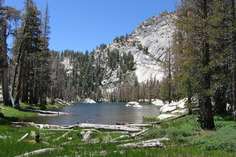
Babcock Lake, 2007. You can see lots of trees here dead or infected looking.
Babcock Lake (Over the Years)
A Trail and Cross-Country Route to the Lyell Fork, July 2007
The trail continued through the deep forest and flower garden, gaining a little altitude here and there in little jumps until it reached a point where the trail climbed above the pointed east end of Babcock Lake. When the trail descended and leveled out a bit near the lakeshore, I took a right off the trail to turn the trail on the right to get to the north shore. If I had stayed on the trail it would have delivered me to a group of well-established packer and backpacker camps in the shade of some good sized trees.

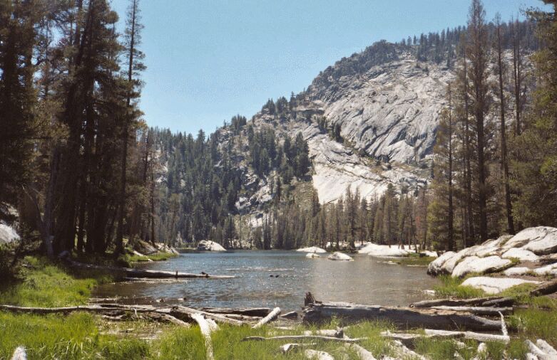
Babcock Lake, 2005. The trees along the lake are beginning to look sickly.

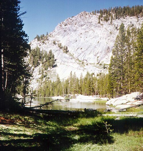
Babcock Lake 16 years ago (1991). You can see that the trees look healthy and green.
Here I have shown three pictures from all of my trips to this lake to show you what changes have taken place.