A Backpack to the Remote Lyell Fork of the Merced River

You can see my camp location marked by my purple down sweater draped over my chair, 2005.
Babcock Lake Camp
A Trail and Cross-Country Route to the Lyell Fork, July 2007
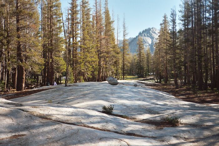
Every time I have been there (three times now), I camped at the same spot on the north shore, not far from a meadow and next to a low broad "snow bank" of glacier smoothed white granite, just opposite an erratic on the granite. I set up my stove/kitchen on a level spot on the granite and our tents in the trees on level ground, and we were set. Nearby prone logs provided places for our gear. There were camping opportunities scattered all around the lake.

At mid-picture you can see the white granite "snow bank" of rock that was next to my camp. At the end of the valley back there is where the Fletcher Creek Trail goes (2005). This picture was taken near the established camps in the woods.
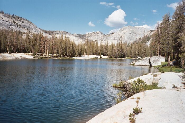
Looking across Babcock Lake from near my camp towards the established camps in the woods across the lake. Note the rock island. 2005.
The first time I was there in ’91 a group of boy scouts were camped nearby at the west end of the lake and were swimming in the lake around the rock island there. They were encouraging a boy who was prone to dislocating his shoulder (I heard him say so when he was on the island) to jump off as the others were doing. Unfortunately, he did and dislocating his shoulder. After getting him to the shore, one of their group headed out for the Merced Lake Ranger Station. Some time later a helicopter circled around and landed in the meadow and evacuated the injured scout. Another minor mishap: my brother was getting water and his camera fell out of his pocket and into the water (always have cameras on a lanyard).
The same view as the above picture (generally) taken in 2007. You can see how many more trees have died or are sick.
The beauty of the lake and area is extensive. Good camping and swimming, a rock island, nearby climbs (like to Babcock Dome), large and numerous meadows, with the whole area ringed by mountains and ridges. But…