A Backpack to the Remote Lyell Fork of the Merced River

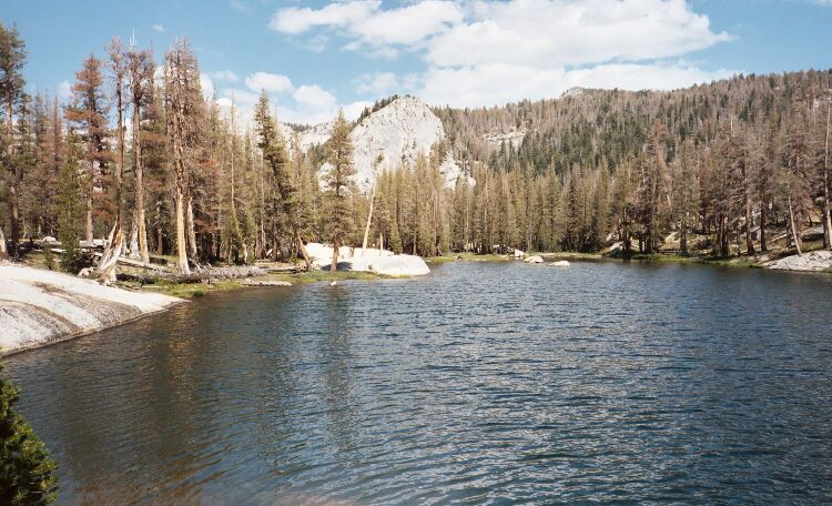
Look at the trees on the ridge above and the trees to the left. When I first saw them 16 years ago, it was all green and healthy. 2005.
The Advancing Blight
A Trail and Cross-Country Route to the Lyell Fork, July 2007
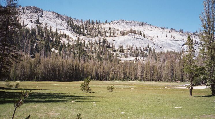
Looking around, I was appalled by the condition of the forest. In ’91, just about all the trees were healthy and green. Every forest has its fair share dead snags scattered here and there, but what has happened here is something else. When I was there in August ’05, I was beginning to see a big increase in the number of dead trees.

The blight was well advanced in 2005. This is looking across the meadow next to the lakethat the 'chopper landed in 16 years ago.

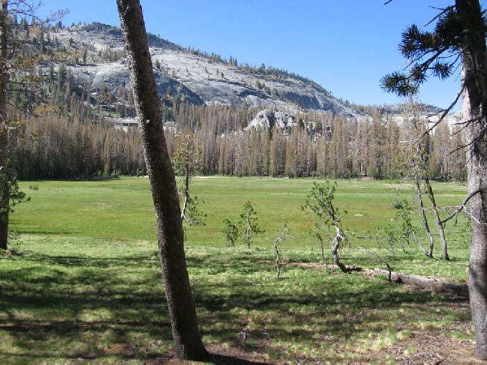
2007, and you can see there are not many trees left alive and most of the the remaining look sick. Even the young trees have a rusty look about them. This is the view very near my camp.
Now in 2007, I was seeing whole forests being devastated as a direct result of global warming. The dead trees were weakened by lack of water, then finished off by an opportunistic epidemic of burrowing, mating bark beetles that foresters are powerless to stop. Conifer trees in the Sierra Nevada are dying at nearly double the rate (probably more) as they were two decades ago, stressed by hotter temperatures and lower precipitation. Here, Lodgepole Pines seem to be taking the brunt of the epidemic, and it looked like 90% of the Lodgepoles were dead or dieing. It is a heavy blow to a unique and beautiful area. The epidemic seemed confined to this valley and surrounding mountains, but how much longer before it spreads up Lewis Creek (it is already in the lower canyon), the High Trail and Lyell Fork? You had better visit these mountains while there is still time.