A Backpack Cross-Country Traverse of the Minarets
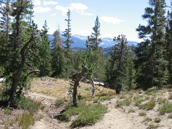
After a bit we came to a shallow open bowl of lush growth of flowers and grass, so I knew we had nearly reached the trail on the 7.5 map marked "Marsh". We headed to the south of the "marsh" and sure enough hit the trail once again.While hiking up "Noname Pass", you can look back and see Holcomb Lake, here at mid-picture. More of the Minarets are beginning to show up. This is obviously timberline country.
"Noname Pass"
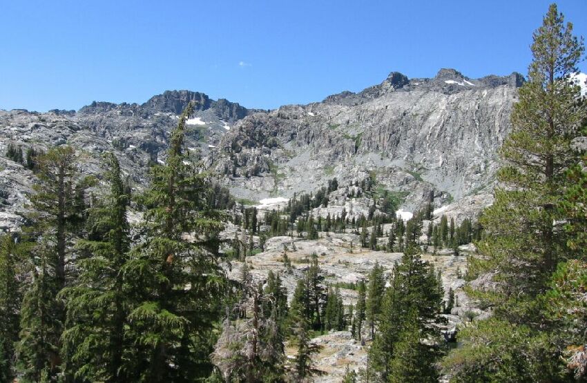
A Cross-Country Traverse of the Minarets, August/September 2006At the north-east corner of Noname Lake you can hike North-East then east in pretty easy terrain over what I call "Noname Pass". The way is somewhat exposed and mostly Class 1 travel. The top of the pass is not far or hard to get to, and the views from the top are not bad. It did not take long to get to the top.
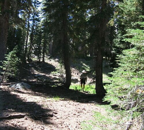
On the other side of the pass the scenery changes drastically from sparse and dry to thick forest. From the top of the pass we headed north north-east over low rolling wooded ridges (trying not to loose any elevation) until we were forced to veer right and more downward.
A sharp change of scenery descending "Noname Pass": thick forest.
Right near the outlet of Superior Lake you can look back down the trail at this view.
The trail skirted the "marsh" and began a short tiresome climb towards the outlet of Superior Lake. Once near the outlet we briefly scanned the view back the way we came.
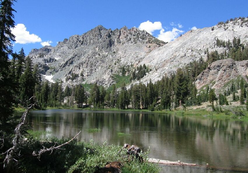
Superior Lake. The notch to the right-center horizon is Nancy Pass, our next days destination.
The view towards the north revealed the welcome sight of Superior Lake where we would be spending the night. Dropping our packs, we split up to look for the best camp, which was occupied by a fisherman group that was deposited by horsepackers. We still managed to find a fair camp and set up our gear before taking a rest. But our day was not over yet. We still had to visit Beck Lakes.