A Backpack Cross-Country Traverse of the Minarets
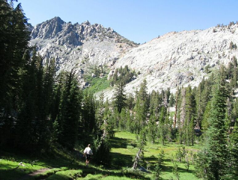
Not far from camp the trail drops down into lush meadow near the stream. Above is Nancy pass, looking sorta impossible from here, but that is deceptive. This is a nice valley.
Heading to Beck Lakes
A Cross-Country Traverse of the Minarets, August/September 2006We took some time to rest a bit because the day was early still and we had plenty of time to do other things. But a short rest was nice to prepare for another walk. I sat there in camp looking up at Nancy Pass, which did not look so easy as a Class 2 route as Roper suggests. Well, many of the earliest climbers in the Sierra commented things far harder from the distance than close up, and I suspected it was the case here
After food and rest, we were ready to head out again to Beck Lakes.
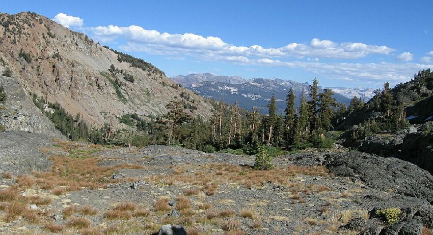
Northwest of Superior Lake you will see some marsh symbols on the map, which in reality is a large meadow. There is a trail that crosses over the stream that is not on the map which we followed. The 7.5 map says the trail crosses to the north side of the stream further up, but this is not true. Once the trail crosses the stream near the lake, it slowly fades away and is gone from the north side of the stream.This is the view from near the outlet of Beck Lakes, looking down canyon.
As we got to the west end of the meadow, we got a better look at Nancy Pass, but we were still not sure of the best route, and Roper does not explain it well. But I will.
We continued up the drainage on the north side of the stream, but saw no sign of a trail tell we got to the outlet. No problem though because the cross-county was easy as usual.


