A Backpack Cross-Country Traverse of the Minarets
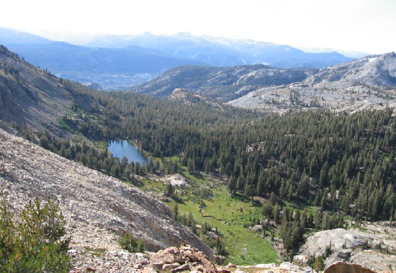
One of the views on the way up Nancy Pass. This should give you some idea how steep the way was.
The Top of Nancy Pass
A Cross-Country Traverse of the Minarets, August/September 2006The top of the pass is a flattened ridge with trees and some rock spots to sit and rest, which we did. On a low wall on the eastern side of the pass is a marker that explains how Nancy Pass got its name. Someone very young climbed this pass and died very young later. For more details, visit this pass yourself.
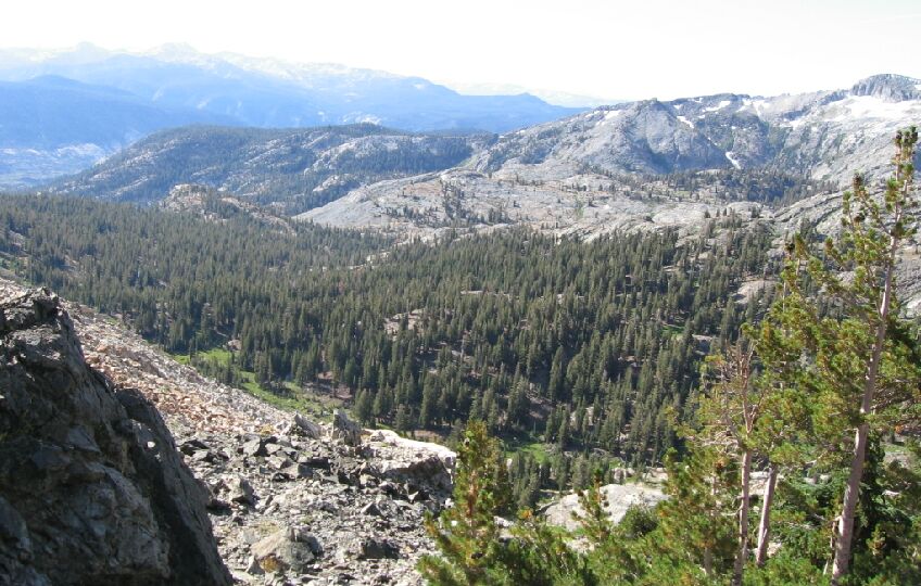
This pass also had a register, but we did not bother to sign it. This story is register enough. We sat around a while admiring the view and having a snack before moving on. Roper claims to be able to see Seven Gables peak to the south on a clear day, and I believe him. But the ever more present "Sierra Haze" pollution kept us from seeing that far, but still, we could see far indeed. The White Divide was easily in view.View from the top of the pass looking South. Some trees here to hold the soil together and provide some shade. Nice. A lot of the route we traveled to get here from Fern Lake can be seen. An obvious landmark is the bowl of Anona Lake, right of center.
On the north side of the pass in the east side, there is a steep rough way downward. On the west end of the pass there is almost a trail that goes downward. We would be taking the West way down.


