A Backpack Cross-Country Traverse of the Minarets
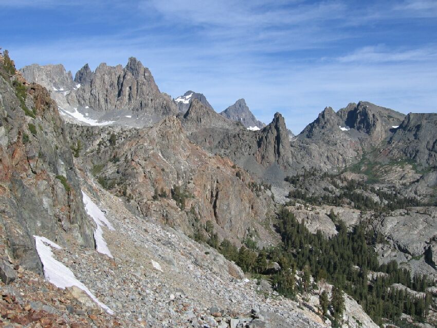
Bottom right of center you can see the trees and grass where Roper says to aim for. Directly above that can be seen the spike that is over Minaret Lake, and to the left in order is Banner and Ritter Peaks.
Scoping the North
A Cross-Country Traverse of the Minarets, August/September 2006So the next step was to decide which way to go down. Steve Roper says (now that we are on his Sierra High Route) to aim for some trees below, be he also mentions "unstable talus" and a "precarious slope", so we were not so much a fan of that idea.
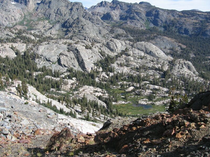
A much more interesting place was below, a beautiful meadowed basin with some shallow lakes surrounded by white granite contrasting with the gray rock of the surrounding area. From that meadow we could either go east to pick up the main trail or go west to rejoin the High Route. We decided to go down a ways and check out the route, and if it looked bad, head back to the Roper route.Looking directly down from Nancy Pass we could see an easy ramp (starting from the left corner) leading down. We decided to follow it down a ways and scope the route.


