A Backpack Cross-Country Traverse of the Minarets
The tall snow clad peak is Mt. Ritter showing the most commonly climbed side to get to the top. The peak to the right is Banner Peak.
Northern Exposure
A Cross-Country Traverse of the Minarets, August/September 2006Before we go, it is time to check out the views to the north of the Pass, a primary reason to do this trip. Spread out before us was quite a view with a great number of peaks, passes, lakes and meadows.
Minaret Lake was right in plain view across the canyon. A slope leading above the lake looked like it would make a good route to summit 3501 m. (~11381 feet), if you had a day to spare.Just below mid-picture you can see Minaret Lake and in the bottom right corner you can just make out some trail. The peaks of mid-picture are part of Volcanic Ridge.
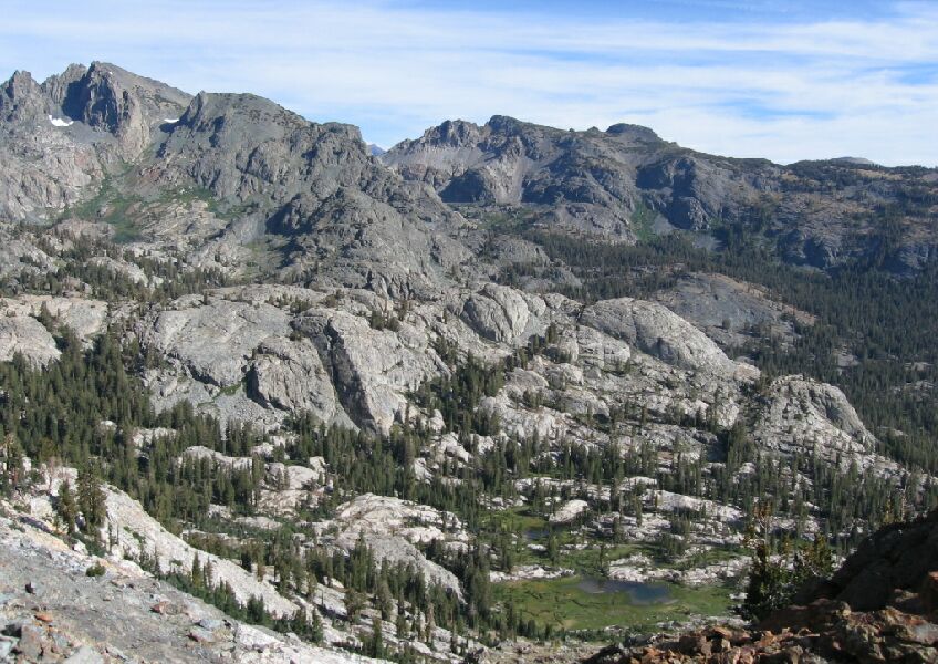
Everything was right in front of us like a 3D map. I could see trails down there, as well as many future destinations like Minaret Lake and the gully we wanted to take out of the basin below.Our next destination, the meadow, can be seen below. You can see Minaret Lake near the left edge of the picture. Most of these peaks are part of Volcanic Ridge.
After the grind it took to get there, we were not in a great hurry to leave, but after a nice gander, rest, drink and snack, it was time to go.


