A Backpack Cross-Country Traverse of the Minarets
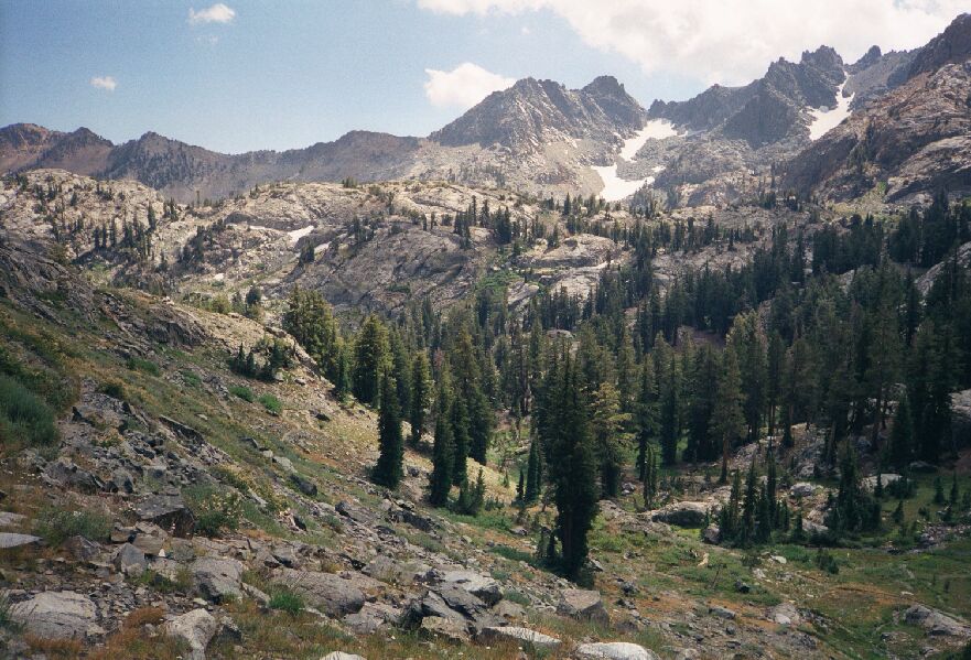
I have a 2006 picture of this, but the 1999 picture here looks better. At the upper right edge is part of the wall of "The Watchtower", and at its foot you can see the green of part of the Deadhorse meadow. To the left of that is the ridge of Deadhorse Pass. Just to the left of mid horizon is Nancy Pass. In to lower right you can see the trail and to the left you can make out the brown snake of the trail switchbacking up to where I am standing to take this picture.
Minaret Lake Switchbacks
A Cross-Country Traverse of the Minarets, August/September 2006The maps do not show it very well, but after passing through the level park with the stream, the trail takes a wide loop and begins series of switchbacks that end way to the right looking up, then does a long level traverse north, still gaining altitude slightly.
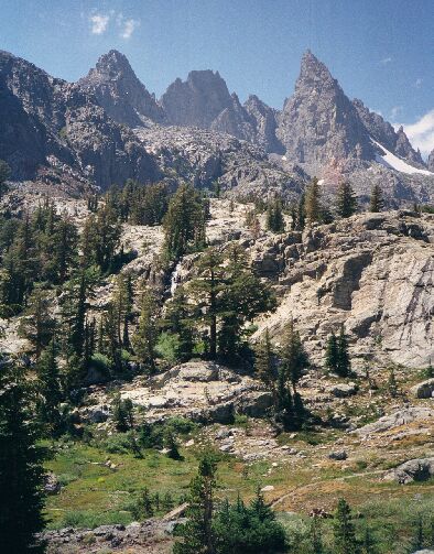
Another look towards Clyde Minaret and Minaret Lake (hidden) so we can see the trail down there just before it loops back to climb the hill.
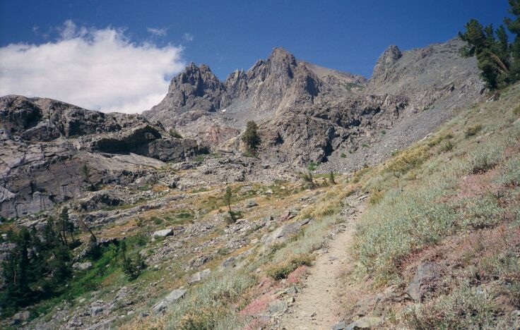
After slogging up the switchbacks and feeling the altitude, the long traverse north seems to take forever, and you wonder when the lake is going to show up. And if you are going around the lake to the north-west shore, there is more up and down to look forward to. Still, the view and surroundings makes up for all the toil.Eventually the switchbacks level out and heads towards Volcanic Ridge and Minaret Lake.


