A Backpack Cross-Country Traverse of the Minarets
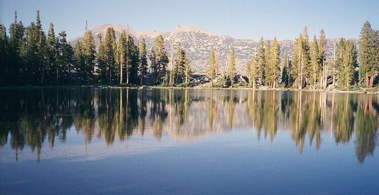
Looking generally east towards Two Teats and San Joaquin Mountain over Gladys Lake. My camp is over there under San Joaquin Mountain.
Gladys Lake
A Cross-Country Traverse of the Minarets, August/September 2006I dropped down into the depression of Gladys Lake (~9596 feet) and looked for a camp. My ankle was sore, and I was close enough to strike towards Minaret Lake the next day. I was not going to get there this day: way too far. As it was, it was plenty far enough: 9.3 miles, 2377 feet of gain and 1924 feet of loss from Rosalie Lake outlet. You the reader will have the choice of following this story to the Postpile trailhead or Minaret Lake.
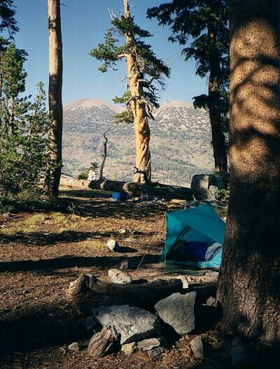
My camp near the outlet, with a nice view of Two Teats, San Joaquin Mountain, the lake and the canyon of the San Joaquin.
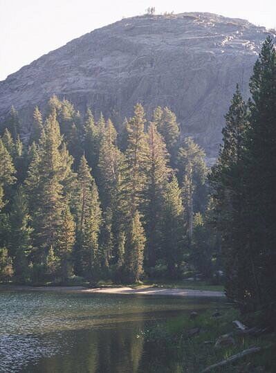
I found a decent camp at the north-east corner of the lake, somewhat near the outlet. I quickly set up camp, and then took a walk around the lake. It was small, and I generally like small lakes. I certainly had the place to myself. The views were stellar, and I had plenty of time to look at them while pondering the feverish imagination of the guy who named "Two Teats".Looking west from camp in the evening. The JMT is over there in the trees.
At sundown I wasted no time getting in the sack: it was windy and would remain so all night. Fine by me while I was indoors. Good to sleep by.


