A Short Trip in the Pioneer Basin Area
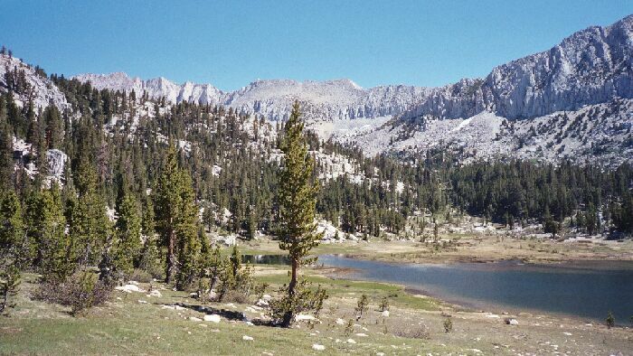
Looking back from the trail, I saw Mt. Huntington over lake 10,393. Across the lake is the spur trail which I believe must go over the saddle at the left end of the lake. In any case, it would be easy cross-country travel.
Lake 10,393
A Pioneer Basin Trip from Edison Lake, June 2003
We headed back to the trail for the first really serious climb of the day, if a fairly short one. Now we were on more rough trail that did not look much maintained judging by the erosion. Still, it was easy to navigate despite some somewhat wet, steep and slippery sections. The trees began to thin out as we neared the next lake (10,820), a sure indication we were in the upper reaches of timberline country. Every step got us closer to home.
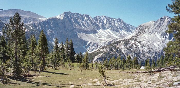
Mt. Stanford is on the extreme left of the jagged granite skyline above lake 10,393. This is another good look at the route beyond the lake to the trail to the largest Pioneer Basin lake.
After a particularly eroded section near the top of the climb, the trail topped out and presented us with a view from the lip of Pioneer Basin. Two days of hiking (OK, a day and a half) and it was well worth it. After years of pouring over maps and wishing for this moment, I had finally arrived. I whipped out my camera...
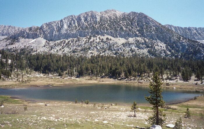
Near the ford and the camp at lake 10,393 is this marvelous view looking towards Mono Pass and the Fourth Recess. Mono Rock is on the right. Pictures cannot do it justice. Other pictures will try.