A Short Trip in the Pioneer Basin Area
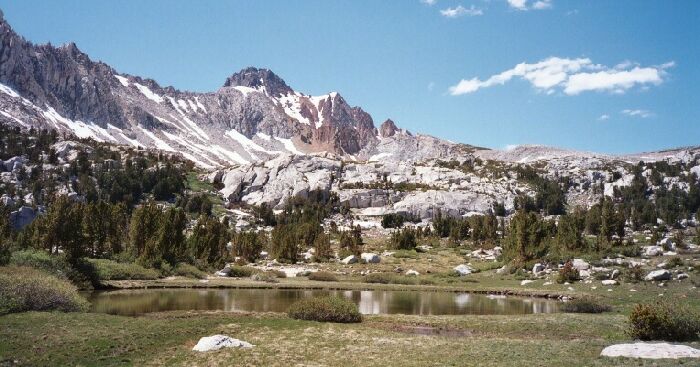
The tarn again and the next headwall with Red and White Mountain at center. Hopkins Pass on the right.
This is Far Enough
A Pioneer Basin Trip from Edison Lake, June 2003
We headed up past the tarn to the next headwall then debated if we should continue on. I was running low on film and it was already a long day. It was starting to get cold and windy and clouds were forming above us. We figured we had seen the best of of Hopkins Creek Canyon (I have seen pictures of the very upper part: barren), so after a bit of resting, drinking and eating, we headed back.
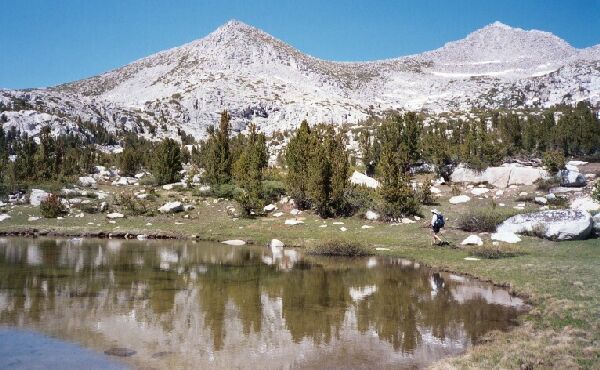
Mt. Crocker (on the right) reflected in that darn tarn. Note how shallow and clear the tarn is.
The way back was as easy as it was to get there. We found our route down and out of the "junction meadow" and back up to the saddle where the trail was and followed it back down to Lower Hopkins Lake and our camp. As usual, we had the place to ourselves. We busied ourselves with chores and settled down for a rest. We had gone far in three days.
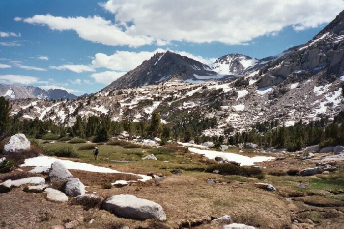
Points 10266 and 12171 and the basin above the upper meadow. The Mono Divide is on the left. As you can see, more grueling cross-country travel. Where is a golf cart when you need one?