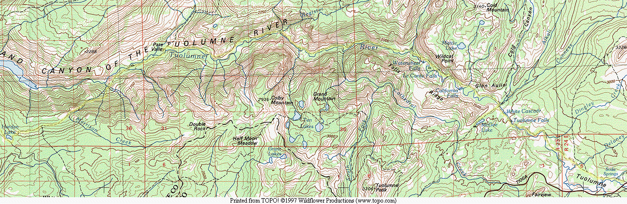
The Grand Canyon of the Tuolumne and Falls
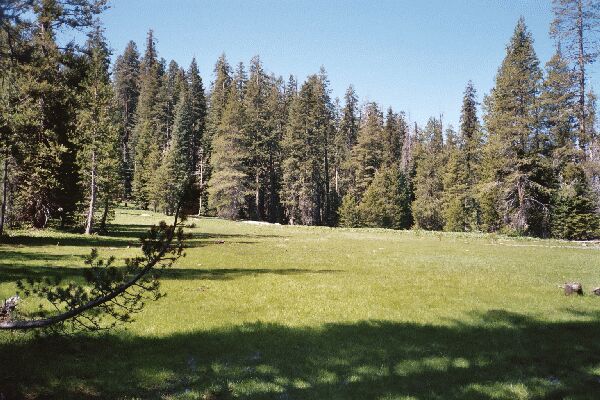
Where's the trail? Do you see a trail? I don't see a trail. The map says there is a trail here across this meadow. Actually, the main trail is across the meadow in the trees. This is Smith Meadow, near the "junction" (on the other side of the meadow) of the Cottonwood Meadow Trail, Smith Meadow trail and Smith Peak Trail. There are even some signs over there.
Hide and Seek
The Grand Canyon of the Tuolumne and Falls, June 2004Day 2. 13 miles, 2436 Foot Gain, 4111 Foot Loss
So, a new day, and a problem. The trail had dead-ended. After breakfast and packing, I got out my map and compass, strapped on the load, and we set out.
Where the trail ended, I hooked right and crossed Cottonwood Creek. I headed east amid deadfalls, below a slope and above the meadow on dry ground. Picking my way through prone dead trees, we rounded the meadow counter-clockwise until we were heading north. After a while I veered northeast to keep the meadow in sight, until at one point I exclaimed to Dave, "The trail could be right there and we would not see it till we were right on top of it!" Well, it turned out it was right there and we did not see it till we were right on top of it. Fortunately, the trail was relatively well defined and we had no trouble following it.
The trail then began a climb of over 400 feet over a little more than 1/2 mile to get the blood pumping. It then dropped down to Smith Meadow and disappeared. Again. It reached a little gully at the edge of the meadow and that was it. Gone.
We looked around again for some sign of trail, but nothing turned up. So, with a map and compass bearing, we headed across the meadow and sure enough, hit the Smith Meadow Trail and the end of the Cottonwood Creek Trail.
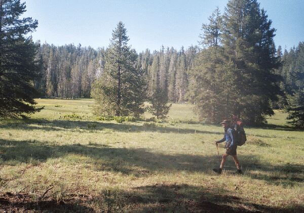
Yup, a meadow all right. There were a number of pocket meadows like these along the trail.
Now on fairly solid trail, over the next 3.75 miles we gained over 1700 feet, topping out near point 7730. The terrain oscillated between thick forest, burnt forest, brush covered hillsides, rolling terrain, steep climbs and sun drenched open areas. Deadfalls were a frequent obstacle, and one in particular was real problem. It was in a large open area of an old burn and covered with bush (which sometimes invaded the trail). At one particularly congested area with no way around, several huge deadfall trees (one about 6 feet across) completely blocked the trail like a wall. A long careful time was required to carefully pick and climb around and through this massive blockage.
The day was hot and clear, and the climb was a sweaty one (and so far on the most part viewless), but we finally reached the high-point of this lower section of the trip at 7703 feet near point 7730. Aside from being a bit damp from the climb, we were feeling pretty good. We headed for Harden Lake.