Mt. Whitney From Cottonwood Lakes
The rest stop had a fine view of the lake and Old Army Pass. The snowy ridge below the lip of the bowl on the left is where the trail is.
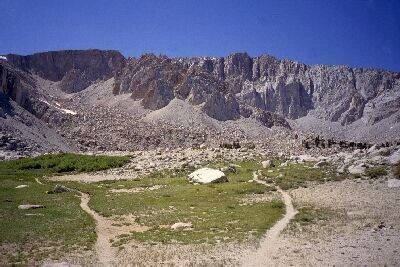
Looking Back
Mt. Whitney Trip from Cottonwood Lakes Trailhead. June 2000.
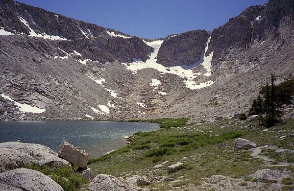
After a short rest it was time to find a camp, so we loaded up once again and headed to the switchback exit of the huge cirque. The cirque lake was an unremarkable and exposed body of water that did not encourage camping of any kind.
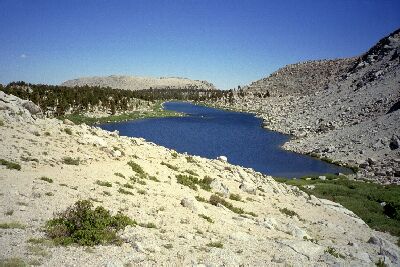
Near the end of the high lake is a trail junction
On the switchbacks exiting the cirque, another slightly more inviting but largely exposed lake was to our left, and another lake to our right looked pleasant enough with a green lawn apron and another medial moraine covered with trees to the left of the long skinny lake.
The next lake is the longest and skinniest lake of the Cottonwood Lakes, and our camp destination.
At the shore of the lake the trail tried to herd us to the left of the moraine, but we found and used the trail skirting the skinny lakes shore. As we headed towards the outlet we assumed there were no places to camp up in the moraine, but later explorations would prove that notion false.